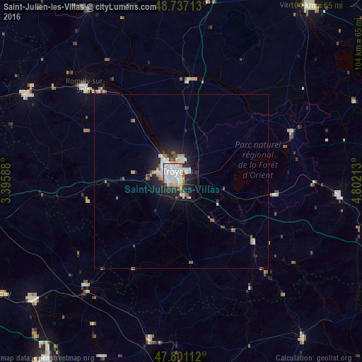
Saint-Julien-les-Villas night lights from space
Night Light of Saint-Julien-les-Villas (Grand Est) from space (France) Src. Average luminocity for 10x10km area is 51.6979% and for 50x50km: 4.2584%.
Analysis of Saint-Julien-les-Villas night lights 2016
Square area 10x10 km:
 17.56%
90-99
16.82%80-89
2.98%70-79
4.61%60-69
1.04%50-59
2.38%40-49
2.53%30-39
2.38%20-29
17.26%10-19
19.64%0-9
12.8%Square area 50x50 km:
0.96%90-99
1%80-89
0.33%70-79
0.47%60-69
0.23%50-59
0.35%40-49
0.39%30-39
0.28%20-29
1.51%10-19
2.72%0-9
91.77%Clear (daylight) street map image can be seen on geolist.org.
Map coordinates:
48° 44' 13.7" North, 3° 23' 45.2" East
48° 16' 16.6" North, 4° 5' 56.4" East
47° 48' 4" North, 4° 48' 7.7" East
Some cities around Saint-Julien-les-Villas sort by population:
• Troyes
3.4 km =2.1 mi,  342°
342°
• La Chapelle-Saint-Luc
6.7 km =4.2 mi,  319°
319°
• Romilly-sur-Seine
38.3 km =23.8 mi,  314°
314°
• Migennes
54.9 km =34.1 mi,  231°
231°
• Nogent-sur-Seine
50.5 km =31.4 mi,  299°
299°
• Bar-sur-Aube
45.2 km =28.1 mi,  95°
95°
• Tonnerre
47.1 km =29.3 mi,  191°
191°
• Pont-Sainte-Marie
5.3 km =3.3 mi,  356°
356°
2979052 (p: 6,542)
Sources (retrieved 2019-11-25):
» Earth at Night: Flat Maps 2012, 2016