Château-Renault night lights from space
Night Light of Château-Renault (Centre) from space (France) Src. Average luminocity for 10x10km area is 3.7557% and for 50x50km: 4.7487%.
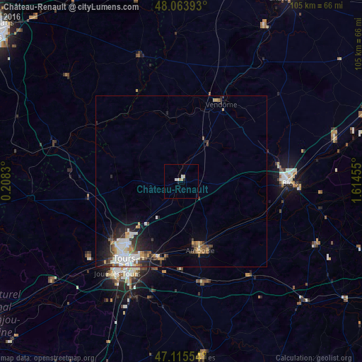
Analysis of Château-Renault night lights 2016
Square area 10x10 km:
 0.43%
0.43%90-99
1.28%80-89
0.99%70-79
0.14%60-69
0.57%50-59
0%40-49
0%30-39
0%20-29
0.28%10-19
0.85%0-9
95.45%Square area 50x50 km:
0.87%90-99
1.11%80-89
0.41%70-79
0.53%60-69
0.44%50-59
0.43%40-49
0.71%30-39
0.65%20-29
1.23%10-19
2.3%0-9
91.34%Clear (daylight) street map image can be seen on geolist.org.
Map coordinates:
48° 3' 50.1" North, 0° 12' 29.9" East
47° 35' 30.8" North, 0° 54' 41.1" East
47° 6' 55.9" North, 1° 36' 52.4" East
Some cities around Château-Renault sort by population:
• Tours
26.9 km =16.7 mi,  215°
215°
• Vendôme
25.2 km =15.7 mi,  27°
27°
• Saint-Cyr-sur-Loire
28.2 km =17.5 mi, 220°
• Saint-Avertin
28.5 km =17.7 mi,  206°
206°
• Saint-Pierre-des-Corps
25.9 km =16.1 mi, 208°
• Amboise
20.7 km =12.9 mi,  164°
164°
• Montlouis-sur-Loire
23.4 km =14.5 mi,  194°
194°
• La Riche
28.8 km =17.9 mi, 218°
3026208 (p: 5,789)
Sources (retrieved 2019-11-25):
» Earth at Night: Flat Maps 2012, 2016