Cernay night lights from space
Night Light of Cernay (Grand Est) from space (France) Src. Average luminocity for 10x10km area is 35.8289% and for 50x50km: 15.9265%.
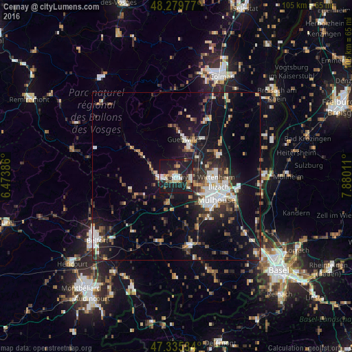
Analysis of Cernay night lights 2016
Square area 10x10 km:
 5.06%
5.06%90-99
7.59%80-89
2.83%70-79
4.32%60-69
5.06%50-59
3.57%40-49
1.93%30-39
1.93%20-29
12.05%10-19
53.72%0-9
1.93%Square area 50x50 km:
2.56%90-99
2.51%80-89
1.2%70-79
1.63%60-69
1.38%50-59
1.89%40-49
2.24%30-39
2.76%20-29
4.81%10-19
14.48%0-9
64.54%Clear (daylight) street map image can be seen on geolist.org.
Map coordinates:
48° 16' 47.2" North, 6° 28' 25.9" East
47° 48' 34.9" North, 7° 10' 37.2" East
47° 20' 7.2" North, 7° 52' 48.4" East
Some cities around Cernay sort by population:
• Wittenheim
11.2 km =7 mi,  89°
89°
• Kingersheim
11.4 km =7.1 mi,  100°
100°
• Guebwiller
12 km =7.5 mi,  8°
8°
• Wittelsheim
4.8 km =3 mi, 90°
• Thann
5.5 km =3.4 mi,  267°
267°
• Pfastatt
10.4 km =6.5 mi,  115°
115°
• Soultz-Haut-Rhin
9.6 km =6 mi,  23°
23°
• Lutterbach
9.5 km =5.9 mi,  125°
125°
3027857 (p: 11,127)
Sources (retrieved 2019-11-25):
» Earth at Night: Flat Maps 2012, 2016