Carvin night lights from space
Night Light of Carvin (Hauts-de-France) from space (France) Src. Average luminocity for 10x10km area is 77.2367% and for 50x50km: 49.8787%.
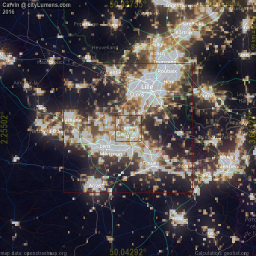
Analysis of Carvin night lights 2016
Square area 10x10 km:
 19.05%
90-99
21.29%80-89
9.24%70-79
14.01%60-69
12.04%50-59
10.36%40-49
11.34%30-39
2.66%20-29
0%10-19
0%0-9
0%Square area 50x50 km:
13.14%90-99
11.08%80-89
4.18%70-79
5.14%60-69
5.91%50-59
5.77%40-49
6.84%30-39
7.9%20-29
12.17%10-19
18.52%0-9
9.35%Clear (daylight) street map image can be seen on geolist.org.
Map coordinates:
50° 56' 15.2" North, 2° 15' 18.1" East
50° 29' 32.5" North, 2° 57' 29.3" East
50° 2' 34.5" North, 3° 39' 40.6" East
Some cities around Carvin sort by population:
• Harnes
6.3 km =3.9 mi,  216°
216°
• Oignies
4.1 km =2.5 mi,  142°
142°
• Annoeullin
4.5 km =2.8 mi,  335°
335°
• Courrières
4 km =2.5 mi,  191°
191°
• Libercourt
4.2 km =2.6 mi,  103°
103°
• Vendin-le-Vieil
6.8 km =4.2 mi,  252°
252°
• Dourges
6.5 km =4 mi,  162°
162°
• Bauvin
5.3 km =3.3 mi,  301°
301°
3028486 (p: 18,561)
Sources (retrieved 2019-11-25):
» Earth at Night: Flat Maps 2012, 2016