Bully-les-Mines night lights from space
Night Light of Bully-les-Mines (Hauts-de-France) from space (France) Src. Average luminocity for 10x10km area is 71.7801% and for 50x50km: 37.1512%.
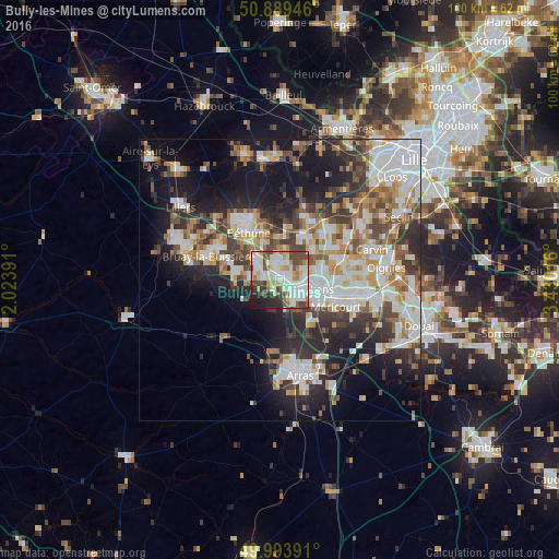
Analysis of Bully-les-Mines night lights 2016
Square area 10x10 km:
 19.89%
90-99
24.51%80-89
7.98%70-79
6.16%60-69
6.16%50-59
5.46%40-49
12.46%30-39
5.18%20-29
7.7%10-19
4.48%0-9
0%Square area 50x50 km:
8.58%90-99
8.6%80-89
3.47%70-79
3.96%60-69
4.53%50-59
4.11%40-49
5.11%30-39
5.81%20-29
9.12%10-19
14.95%0-9
31.74%Clear (daylight) street map image can be seen on geolist.org.
Map coordinates:
50° 53' 22.1" North, 2° 1' 26.1" East
50° 26' 37.7" North, 2° 43' 37.3" East
49° 59' 38.1" North, 3° 25' 48.6" East
Some cities around Bully-les-Mines sort by population:
• Lens
7.2 km =4.5 mi,  99°
99°
• Liévin
4.6 km =2.9 mi,  125°
125°
• Nœux-les-Mines
6.1 km =3.8 mi,  315°
315°
• Mazingarbe
3.1 km =1.9 mi,  344°
344°
• Loos-en-Gohelle
4.9 km =3 mi,  71°
71°
• Hersin-Coupigny
5.5 km =3.4 mi,  274°
274°
• Grenay
1.9 km =1.2 mi, 69°
• Sains-en-Gohelle
3.1 km =1.9 mi, 272°
3029566 (p: 11,975)
Sources (retrieved 2019-11-25):
» Earth at Night: Flat Maps 2012, 2016