Bondoufle night lights from space
Night Light of Bondoufle (Île-de-France) from space (France) Src. Average luminocity for 10x10km area is 76.7396% and for 50x50km: 47.2349%.
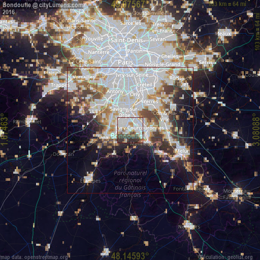
Analysis of Bondoufle night lights 2016
Square area 10x10 km:
 29.17%
90-99
27.08%80-89
2.68%70-79
6.1%60-69
5.06%50-59
2.83%40-49
7.59%30-39
12.95%20-29
6.55%10-19
0%0-9
0%Square area 50x50 km:
17.28%90-99
11.64%80-89
3.62%70-79
4.01%60-69
4.94%50-59
3.69%40-49
4.75%30-39
5.04%20-29
6.15%10-19
9.47%0-9
29.4%Clear (daylight) street map image can be seen on geolist.org.
Map coordinates:
49° 4' 32.4" North, 1° 40' 28.7" East
48° 36' 46.6" North, 2° 22' 39.9" East
48° 8' 45.3" North, 3° 4' 51.2" East
Some cities around Bondoufle sort by population:
• Évry
5.1 km =3.2 mi,  64°
64°
• Ris-Orangis
5 km =3.1 mi,  32°
32°
• Grigny
4.7 km =2.9 mi,  14°
14°
• Brétigny-sur-Orge
5.3 km =3.3 mi,  268°
268°
• Saint-Michel-sur-Orge
5.7 km =3.5 mi,  295°
295°
• Courcouronnes
2.2 km =1.4 mi,  86°
86°
• Fleury-Mérogis
2.9 km =1.8 mi,  339°
339°
• Lisses
3.5 km =2.2 mi,  109°
109°
3031818 (p: 9,619)
Sources (retrieved 2019-11-25):
» Earth at Night: Flat Maps 2012, 2016