Saint-Michel-sur-Orge night lights from space
Night Light of Saint-Michel-sur-Orge (Île-de-France) from space (France) Src. Average luminocity for 10x10km area is 88.1741% and for 50x50km: 49.9459%.
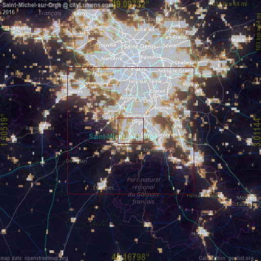
Analysis of Saint-Michel-sur-Orge night lights 2016
Square area 10x10 km:
 36.16%
90-99
27.08%80-89
9.23%70-79
12.65%60-69
7.74%50-59
2.98%40-49
2.98%30-39
1.19%20-29
0%10-19
0%0-9
0%Square area 50x50 km:
19.71%90-99
12.75%80-89
3.63%70-79
3.98%60-69
4.75%50-59
3.54%40-49
4.94%30-39
4.96%20-29
5.36%10-19
6.71%0-9
29.68%Clear (daylight) street map image can be seen on geolist.org.
Map coordinates:
49° 5' 50.4" North, 1° 36' 18.7" East
48° 38' 5.2" North, 2° 18' 29.9" East
48° 10' 4.7" North, 3° 0' 41.2" East
Some cities around Saint-Michel-sur-Orge sort by population:
• Brétigny-sur-Orge
2.6 km =1.6 mi,  183°
183°
• Épinay-sur-Orge
4.3 km =2.7 mi,  2°
2°
• Fleury-Mérogis
4.1 km =2.5 mi,  86°
86°
• Villemoisson-sur-Orge
4.1 km =2.5 mi,  30°
30°
• Montlhéry
2.5 km =1.6 mi,  283°
283°
• La Ville-du-Bois
3.7 km =2.3 mi,  307°
307°
• Longpont-sur-Orge
1.4 km =0.9 mi,  303°
303°
• Linas
3.4 km =2.1 mi,  261°
261°
2977952 (p: 20,824)
Sources (retrieved 2019-11-25):
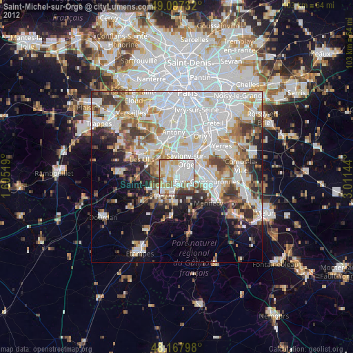
» Earth at Night: Flat Maps 2012, 2016