Béthune night lights from space
Night Light of Béthune (Hauts-de-France) from space (France) Src. Average luminocity for 10x10km area is 57.2857% and for 50x50km: 31.5158%.
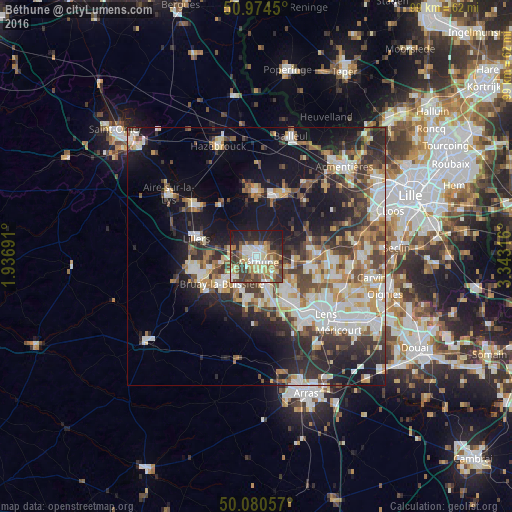
Analysis of Béthune night lights 2016
Square area 10x10 km:
 8.4%
8.4%90-99
13.31%80-89
9.38%70-79
6.44%60-69
9.66%50-59
7.56%40-49
9.8%30-39
10.36%20-29
14.71%10-19
10.36%0-9
0%Square area 50x50 km:
5.7%90-99
6.95%80-89
3.21%70-79
3.67%60-69
3.68%50-59
3.78%40-49
4.85%30-39
5.47%20-29
8.66%10-19
16.14%0-9
37.9%Clear (daylight) street map image can be seen on geolist.org.
Map coordinates:
50° 58' 28.2" North, 1° 56' 12.9" East
50° 31' 46.7" North, 2° 38' 24.1" East
50° 4' 50.1" North, 3° 20' 35.4" East
Some cities around Béthune sort by population:
• Bruay-la-Buissière
8.2 km =5.1 mi,  231°
231°
• Nœux-les-Mines
5.5 km =3.4 mi,  159°
159°
• Beuvry
3.5 km =2.2 mi,  114°
114°
• Barlin
8.7 km =5.4 mi,  189°
189°
• Mazingarbe
8.4 km =5.2 mi,  140°
140°
• Hersin-Coupigny
9.1 km =5.7 mi,  175°
175°
• Annezin
1.6 km =1 mi,  279°
279°
• Haillicourt
7.6 km =4.7 mi,  217°
217°
3033002 (p: 31,568)
Sources (retrieved 2019-11-25):
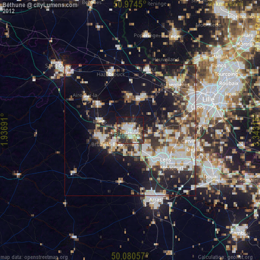
» Earth at Night: Flat Maps 2012, 2016