Montbéliard night lights from space
Night Light of Montbéliard (Bourgogne-Franche-Comté) from space (France) Src. Average luminocity for 10x10km area is 61.2443% and for 50x50km: 10.5861%.
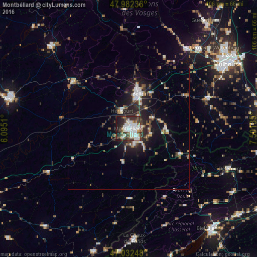
Analysis of Montbéliard night lights 2016
Square area 10x10 km:
 19.46%
90-99
17.47%80-89
5.68%70-79
3.13%60-69
1.14%50-59
6.39%40-49
8.52%30-39
12.78%20-29
14.06%10-19
11.36%0-9
0%Square area 50x50 km:
1.64%90-99
1.88%80-89
0.96%70-79
0.68%60-69
0.91%50-59
1.22%40-49
1.72%30-39
2.09%20-29
4.45%10-19
7.01%0-9
77.45%Clear (daylight) street map image can be seen on geolist.org.
Map coordinates:
47° 58' 56.5" North, 6° 5' 42.4" East
47° 30' 34.5" North, 6° 47' 53.6" East
47° 1' 56.9" North, 7° 30' 4.9" East
Some cities around Montbéliard sort by population:
• Audincourt
5.1 km =3.2 mi,  125°
125°
• Valentigney
5.7 km =3.5 mi,  153°
153°
• Héricourt
7.6 km =4.7 mi,  338°
338°
• Bethoncourt
2.9 km =1.8 mi,  10°
10°
• Seloncourt
7 km =4.3 mi,  142°
142°
• Beaucourt
9.6 km =6 mi,  103°
103°
• Mandeure
6.7 km =4.2 mi,  173°
173°
• Grand-Charmont
2.8 km =1.7 mi,  47°
47°
2992938 (p: 28,865)
Sources (retrieved 2019-11-25):
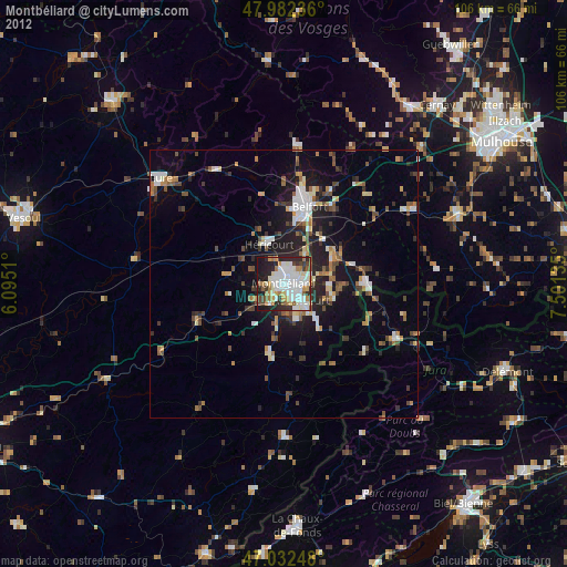
» Earth at Night: Flat Maps 2012, 2016