Auray night lights from space
Night Light of Auray (Brittany) from space (France) Src. Average luminocity for 10x10km area is 13.3497% and for 50x50km: 4.9968%.
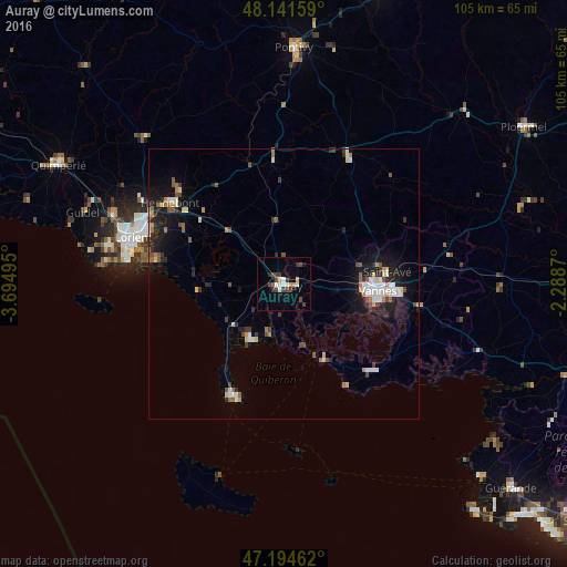
Analysis of Auray night lights 2016
Square area 10x10 km:
 1.49%
1.49%90-99
2.68%80-89
0.74%70-79
1.64%60-69
0%50-59
0.6%40-49
3.87%30-39
4.61%20-29
1.04%10-19
2.38%0-9
80.95%Square area 50x50 km:
0.53%90-99
0.99%80-89
0.44%70-79
0.46%60-69
0.5%50-59
0.63%40-49
0.67%30-39
0.71%20-29
1.2%10-19
3.67%0-9
90.2%Clear (daylight) street map image can be seen on geolist.org.
Map coordinates:
48° 8' 29.7" North, 3° 41' 41.8" West
47° 40' 12.9" North, 2° 59' 30.6" West
47° 11' 40.6" North, 2° 17' 19.3" West
Some cities around Auray sort by population:
• Vannes
17.7 km =11 mi,  94°
94°
• Saint-Avé
18.5 km =11.5 mi,  82°
82°
• Séné
19.9 km =12.4 mi,  106°
106°
• Languidic
21.9 km =13.6 mi,  325°
325°
• Pluvigner
11.9 km =7.4 mi,  353°
353°
• Quiberon
22.8 km =14.2 mi,  204°
204°
• Arradon
13.6 km =8.5 mi, 110°
• Brech
5.7 km =3.5 mi, 354°
3036059 (p: 12,269)
Sources (retrieved 2019-11-25):
» Earth at Night: Flat Maps 2012, 2016