Abbeville night lights from space
Night Light of Abbeville (Hauts-de-France) from space (France) Src. Average luminocity for 10x10km area is 15.6043% and for 50x50km: 2.8213%.
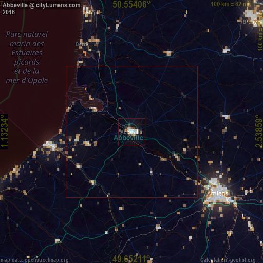
Analysis of Abbeville night lights 2016
Square area 10x10 km:
 3.61%
3.61%90-99
2.54%80-89
0.53%70-79
0.94%60-69
1.34%50-59
2.27%40-49
1.6%30-39
2.81%20-29
2.01%10-19
9.76%0-9
72.59%Square area 50x50 km:
0.23%90-99
0.29%80-89
0.33%70-79
0.3%60-69
0.34%50-59
0.53%40-49
0.43%30-39
0.65%20-29
0.5%10-19
0.96%0-9
95.45%Clear (daylight) street map image can be seen on geolist.org.
Map coordinates:
50° 33' 14.6" North, 1° 7' 56.4" East
50° 6' 18.8" North, 1° 50' 7.7" East
49° 39' 7.6" North, 2° 32' 18.9" East
Some cities around Abbeville sort by population:
• Amiens
40.3 km =25 mi,  124°
124°
• Berck-Plage
38.7 km =24 mi,  330°
330°
• Berck
36.8 km =22.9 mi, 332°
• Eu
30.3 km =18.8 mi,  257°
257°
• Doullens
36.4 km =22.6 mi,  80°
80°
• Le Tréport
33.2 km =20.6 mi, 261°
• Longueau
45.5 km =28.3 mi, 124°
• Cucq
44.1 km =27.4 mi,  339°
339°
3038789 (p: 26,461)
Sources (retrieved 2019-11-25):
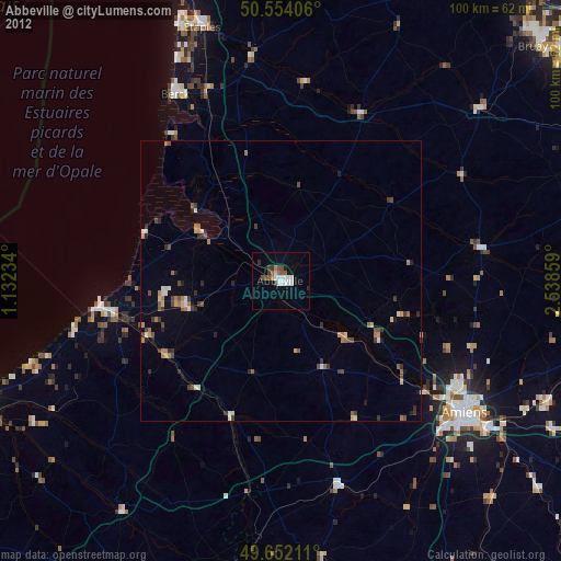
» Earth at Night: Flat Maps 2012, 2016