Inarajan Village night lights from space
Night Light of Inarajan Village (Inarajan) from space (Guam) Src. Average luminocity for 10x10km area is 4.6116% and for 50x50km: 6.3331%.
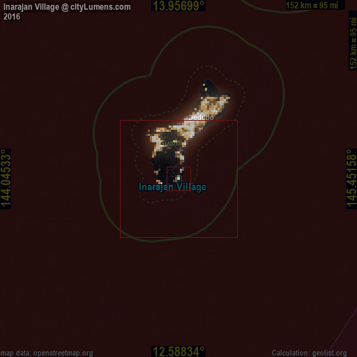
Analysis of Inarajan Village night lights 2016
Square area 10x10 km:
 0%
0%90-99
0%80-89
1.24%70-79
0.41%60-69
0%50-59
1.45%40-49
0.62%30-39
3.72%20-29
0%10-19
0%0-9
92.56%Square area 50x50 km:
0.91%90-99
0.81%80-89
0.88%70-79
0.86%60-69
0.68%50-59
0.67%40-49
0.65%30-39
1.41%20-29
2.23%10-19
4.98%0-9
85.93%Clear (daylight) street map image can be seen on geolist.org.
Map coordinates:
13° 57' 25.2" North, 144° 2' 43.2" East
13° 16' 25.1" North, 144° 44' 54.4" East
12° 35' 18" North, 145° 27' 5.7" East
Some cities around Inarajan Village sort by population:
• Mangilao Village
20.2 km =12.6 mi,  16°
16°
• Santa Rita Village
15 km =9.3 mi,  326°
326°
• Chalan Pago-Ordot Village
19.4 km =12.1 mi,  3°
3°
• Yona Village
15.4 km =9.6 mi,  11°
11°
• Agat Village
16.1 km =10 mi,  322°
322°
• Talofofo Village
9.1 km =5.7 mi, 6°
• Merizo Village
8.6 km =5.3 mi,  264°
264°
• Umatac Village
9.6 km =6 mi,  286°
286°
4043499 (p: 3,052)
Sources (retrieved 2019-11-25):
» Earth at Night: Flat Maps 2012, 2016