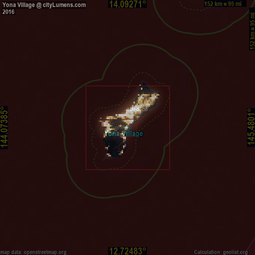
Yona Village night lights from space
Night Light of Yona Village (Yona) from space (Guam) Src. Average luminocity for 10x10km area is 33.0062% and for 50x50km: 10.3366%.
Analysis of Yona Village night lights 2016
Square area 10x10 km:
 4.55%
4.55%90-99
3.1%80-89
5.79%70-79
4.75%60-69
3.72%50-59
0%40-49
4.34%30-39
11.16%20-29
17.15%10-19
26.65%0-9
18.8%Square area 50x50 km:
1.35%90-99
1.28%80-89
1.54%70-79
1.65%60-69
1.18%50-59
1.12%40-49
1.13%30-39
1.93%20-29
3.62%10-19
7.9%0-9
77.3%Clear (daylight) street map image can be seen on geolist.org.
Map coordinates:
14° 5' 33.8" North, 144° 4' 25.9" East
13° 24' 35.1" North, 144° 46' 37.1" East
12° 43' 29.4" North, 145° 28' 48.4" East
Some cities around Yona Village sort by population:
• Mangilao Village
5 km =3.1 mi,  31°
31°
• Barrigada Village
7 km =4.3 mi,  19°
19°
• Mongmong-Toto-Maite Village
6.6 km =4.1 mi,  4°
4°
• Chalan Pago-Ordot Village
4.6 km =2.9 mi,  335°
335°
• Agana Heights Village
7 km =4.3 mi,  333°
333°
• Talofofo Village
6.4 km =4 mi,  198°
198°
• Sinajana Village
6.5 km =4 mi, 337°
• Guam Government House
7.5 km =4.7 mi, 336°
4038809 (p: 6,484)
Sources (retrieved 2019-11-25):
» Earth at Night: Flat Maps 2012, 2016