Rauma night lights from space
Night Light of Rauma (Satakunta) from space (Finland) Src. Average luminocity for 10x10km area is 42.0584% and for 50x50km: 2.4763%.
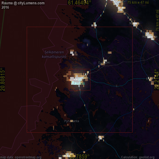
Analysis of Rauma night lights 2016
Square area 10x10 km:
 10.71%
90-99
9.74%80-89
3.25%70-79
4.76%60-69
3.9%50-59
3.68%40-49
3.35%30-39
2.49%20-29
17.21%10-19
26.52%0-9
14.39%Square area 50x50 km:
0.46%90-99
0.46%80-89
0.14%70-79
0.18%60-69
0.2%50-59
0.28%40-49
0.43%30-39
0.36%20-29
0.76%10-19
1.86%0-9
94.86%Clear (daylight) street map image can be seen on geolist.org.
Map coordinates:
61° 27' 53.8" North, 20° 48' 29.3" East
61° 7' 38.1" North, 21° 30' 40.6" East
60° 47' 9.2" North, 22° 12' 51.8" East
Some cities around Rauma sort by population:
• Pori
42.2 km =26.2 mi,  20°
20°
• Uusikaupunki
36.8 km =22.9 mi,  188°
188°
• Ulvila
38.6 km =24 mi,  29°
29°
• Eura
33.4 km =20.8 mi,  88°
88°
• Laitila
29.7 km =18.5 mi,  160°
160°
• Harjavalta
39.4 km =24.5 mi,  57°
57°
• Nakkila
37.3 km =23.2 mi,  44°
44°
• Eurajoki
14.4 km =8.9 mi, 55°
639734 (p: 36,550)
Sources (retrieved 2019-11-25):
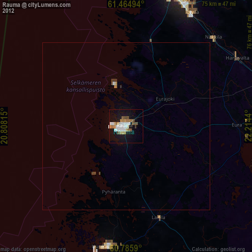
» Earth at Night: Flat Maps 2012, 2016