Uusikaupunki night lights from space
Night Light of Uusikaupunki (Southwest Finland) from space (Finland) Src. Average luminocity for 10x10km area is 15.4686% and for 50x50km: 0.9568%.
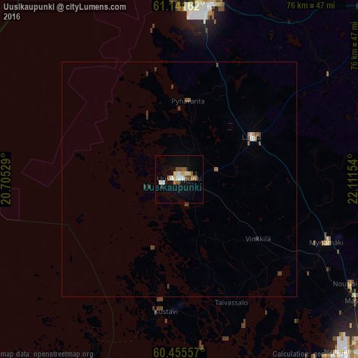
Analysis of Uusikaupunki night lights 2016
Square area 10x10 km:
 1.95%
1.95%90-99
1.95%80-89
3.14%70-79
1.41%60-69
1.3%50-59
2.81%40-49
2.38%30-39
0.22%20-29
0.54%10-19
10.93%0-9
73.38%Square area 50x50 km:
0.1%90-99
0.1%80-89
0.12%70-79
0.09%60-69
0.11%50-59
0.18%40-49
0.24%30-39
0.16%20-29
0.05%10-19
0.43%0-9
98.4%Clear (daylight) street map image can be seen on geolist.org.
Map coordinates:
61° 8' 29.8" North, 20° 42' 19" East
60° 48' 1.5" North, 21° 24' 30.3" East
60° 27' 20.1" North, 22° 6' 41.5" East
Some cities around Uusikaupunki sort by population:
• Rauma
36.8 km =22.9 mi,  8°
8°
• Raisio
54.2 km =33.7 mi,  130°
130°
• Naantali
50 km =31.1 mi,  137°
137°
• Eura
53.9 km =33.5 mi,  46°
46°
• Laitila
17.8 km =11.1 mi,  61°
61°
• Mynämäki
34.5 km =21.4 mi,  113°
113°
• Masku
45.4 km =28.2 mi,  124°
124°
• Eurajoki
47.8 km =29.7 mi,  21°
21°
633221 (p: 16,226)
Sources (retrieved 2019-11-25):
» Earth at Night: Flat Maps 2012, 2016