Kristinestad night lights from space
Night Light of Kristinestad (Ostrobothnia) from space (Finland) Src. Average luminocity for 10x10km area is 3.235% and for 50x50km: 2.8832%.
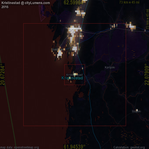
Analysis of Kristinestad night lights 2016
Square area 10x10 km:
 0%
0%90-99
0%80-89
0.83%70-79
0.21%60-69
0.41%50-59
1.04%40-49
0.72%30-39
1.66%20-29
0.1%10-19
0%0-9
95.03%Square area 50x50 km:
0.54%90-99
0.48%80-89
0.2%70-79
0.16%60-69
0.19%50-59
0.33%40-49
0.7%30-39
0.94%20-29
0.62%10-19
1.63%0-9
94.22%Clear (daylight) street map image can be seen on geolist.org.
Map coordinates:
62° 35' 58.7" North, 20° 40' 22.2" East
62° 16' 27.4" North, 21° 22' 33.5" East
61° 56' 43.4" North, 22° 4' 44.7" East
Some cities around Kristinestad sort by population:
• Kauhajoki
45.3 km =28.1 mi,  66°
66°
• Kankaanpää
75.7 km =47 mi,  134°
134°
• Ilmajoki
79.6 km =49.5 mi,  50°
50°
• Kurikka
65.7 km =40.8 mi, 54°
• Jalasjärvi
75.1 km =46.7 mi, 70°
• Teuva
29.8 km =18.5 mi,  39°
39°
• Noormarkku
80 km =49.7 mi,  161°
161°
• Malax
75 km =46.6 mi,  7°
7°
650769 (p: 7,712)
Sources (retrieved 2019-11-25):
» Earth at Night: Flat Maps 2012, 2016