Keuruu night lights from space
Night Light of Keuruu (Central Finland) from space (Finland) Src. Average luminocity for 10x10km area is 3.3602% and for 50x50km: 0.2085%.
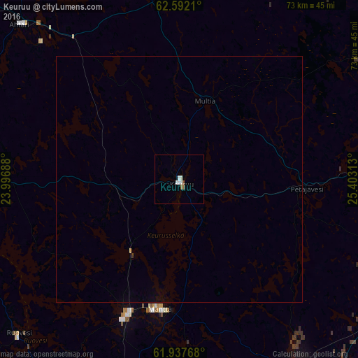
Analysis of Keuruu night lights 2016
Square area 10x10 km:
 0.52%
0.52%90-99
1.55%80-89
0%70-79
0%60-69
0.83%50-59
0.41%40-49
0%30-39
0%20-29
0%10-19
0%0-9
96.69%Square area 50x50 km:
0.02%90-99
0.06%80-89
0.02%70-79
0%60-69
0.03%50-59
0.02%40-49
0%30-39
0.02%20-29
0%10-19
0%0-9
99.83%Clear (daylight) street map image can be seen on geolist.org.
Map coordinates:
62° 35' 31.6" North, 23° 59' 48.8" East
62° 16' 0" North, 24° 42' 0" East
61° 56' 15.6" North, 25° 24' 11.3" East
Some cities around Keuruu sort by population:
• Jämsä
51.5 km =32 mi,  150°
150°
• Virrat
47.7 km =29.6 mi,  267°
267°
• Jämsänkoski
45.7 km =28.4 mi, 147°
• Ähtäri
45.8 km =28.5 mi,  314°
314°
• Mänttä
26.6 km =16.5 mi,  188°
188°
• Vilppula
29.1 km =18.1 mi,  200°
200°
• Ruovesi
45.7 km =28.4 mi,  226°
226°
• Korpilahti
52.2 km =32.4 mi,  122°
122°
652977 (p: 10,942)
Sources (retrieved 2019-11-25):
» Earth at Night: Flat Maps 2012, 2016