Ähtäri night lights from space
Night Light of Ähtäri (Southern Ostrobothnia) from space (Finland) Src. Average luminocity for 10x10km area is 3.419% and for 50x50km: 0.507%.
Analysis of Ähtäri night lights 2016
Square area 10x10 km:
 0.79%
0.79%90-99
0.99%80-89
0.79%70-79
0%60-69
0.4%50-59
0.4%40-49
0%30-39
0%20-29
0%10-19
0%0-9
96.64%Square area 50x50 km:
0.09%90-99
0.15%80-89
0.08%70-79
0.05%60-69
0.08%50-59
0.02%40-49
0%30-39
0.02%20-29
0.01%10-19
0.02%0-9
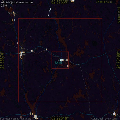
99.49%Clear (daylight) street map image can be seen on geolist.org.
Map coordinates:
62° 52' 34.9" North, 23° 21' 31.5" East
62° 33' 14.5" North, 24° 3' 42.7" East
62° 13' 41.4" North, 24° 45' 54" East
Some cities around Ähtäri sort by population:
• Keuruu
45.8 km =28.5 mi,  134°
134°
• Älajärvi
51.2 km =31.8 mi,  345°
345°
• Saarijärvi
63.2 km =39.3 mi,  74°
74°
• Alavus
23 km =14.3 mi,  278°
278°
• Alajärvi
51.1 km =31.8 mi, 345°
• Virrat
37 km =23 mi,  203°
203°
• Vilppula
63.5 km =39.5 mi,  158°
158°
• Ruovesi
63.2 km =39.3 mi,  180°
180°
661896 (p: 6,835)
Sources (retrieved 2019-11-25):
» Earth at Night: Flat Maps 2012, 2016