Virrat night lights from space
Night Light of Virrat (Pirkanmaa) from space (Finland) Src. Average luminocity for 10x10km area is 6.2474% and for 50x50km: 0.2912%.
Analysis of Virrat night lights 2016
Square area 10x10 km:
 1.24%
1.24%90-99
1.24%80-89
0%70-79
1.24%60-69
0.93%50-59
1.14%40-49
0.41%30-39
0%20-29
0%10-19
0%0-9
93.79%Square area 50x50 km:
0.05%90-99
0.05%80-89
0%70-79
0.05%60-69
0.05%50-59
0.04%40-49
0.02%30-39
0.05%20-29
0.03%10-19
0.02%0-9
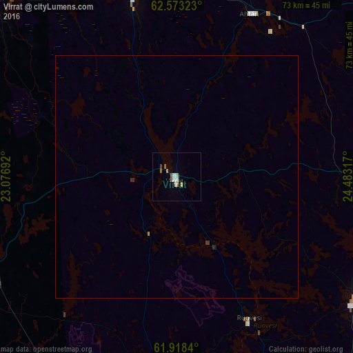
99.65%Clear (daylight) street map image can be seen on geolist.org.
Map coordinates:
62° 34' 23.6" North, 23° 4' 36.9" East
62° 14' 51.3" North, 23° 46' 48.1" East
61° 55' 6.2" North, 24° 28' 59.4" East
Some cities around Virrat sort by population:
• Keuruu
47.7 km =29.6 mi,  87°
87°
• Alavus
38.3 km =23.8 mi,  347°
347°
• Jalasjärvi
60.1 km =37.3 mi,  297°
297°
• Parkano
47.3 km =29.4 mi,  237°
237°
• Ähtäri
37 km =23 mi,  23°
23°
• Mänttä
50.3 km =31.3 mi,  118°
118°
• Vilppula
45.3 km =28.1 mi, 123°
• Ruovesi
32.5 km =20.2 mi,  153°
153°
631376 (p: 7,707)
Sources (retrieved 2019-11-25):
» Earth at Night: Flat Maps 2012, 2016