Parkano night lights from space
Night Light of Parkano (Pirkanmaa) from space (Finland) Src. Average luminocity for 10x10km area is 4.667% and for 50x50km: 0.4142%.
Analysis of Parkano night lights 2016
Square area 10x10 km:
 1.09%
1.09%90-99
1.68%80-89
0%70-79
0.4%60-69
0.2%50-59
0.59%40-49
0.4%30-39
0%20-29
0.4%10-19
0%0-9
95.26%Square area 50x50 km:
0.08%90-99
0.11%80-89
0.01%70-79
0.02%60-69
0.04%50-59
0.06%40-49
0.05%30-39
0.03%20-29
0.05%10-19
0.02%0-9
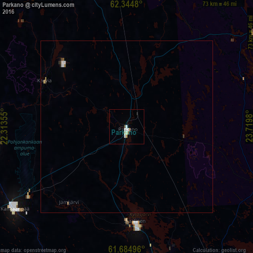
99.53%Clear (daylight) street map image can be seen on geolist.org.
Map coordinates:
62° 20' 41.3" North, 22° 18' 48.8" East
62° 1' 0" North, 23° 1' 0" East
61° 41' 5.9" North, 23° 43' 11.3" East
Some cities around Parkano sort by population:
• Ylöjärvi
59.6 km =37 mi,  149°
149°
• Kauhajoki
63.3 km =39.3 mi,  317°
317°
• Kankaanpää
39.6 km =24.6 mi,  232°
232°
• Hämeenkyrö
43 km =26.7 mi,  167°
167°
• Jalasjärvi
55.5 km =34.5 mi,  345°
345°
• Virrat
47.3 km =29.4 mi,  57°
57°
• Ikaalinen
27.6 km =17.1 mi, 174°
• Ruovesi
54.4 km =33.8 mi,  93°
93°
642657 (p: 7,213)
Sources (retrieved 2019-11-25):
» Earth at Night: Flat Maps 2012, 2016