Yirga ‘Alem night lights from space
Night Light of Yirga ‘Alem (SNNPR) from space (Ethiopia) Src. Average luminocity for 10x10km area is 1.2662% and for 50x50km: 0.1636%.
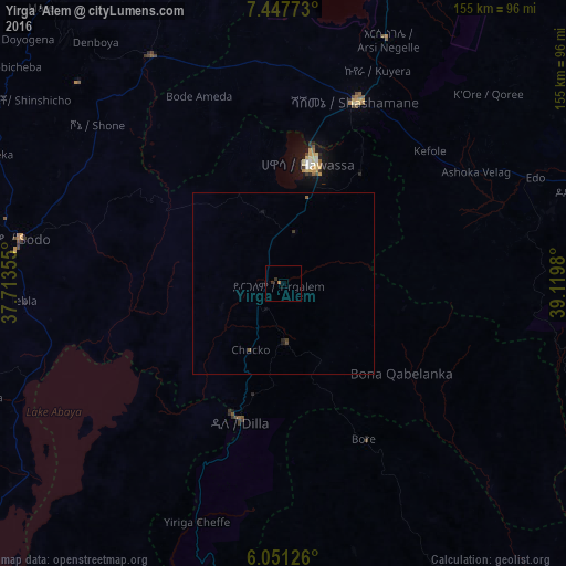
Analysis of Yirga ‘Alem night lights 2016
Square area 10x10 km:
 0%
0%90-99
0%80-89
0%70-79
0%60-69
0.87%50-59
0%40-49
0%30-39
1.73%20-29
0%10-19
0.43%0-9
96.97%Square area 50x50 km:
0%90-99
0%80-89
0%70-79
0%60-69
0.03%50-59
0.07%40-49
0.03%30-39
0.14%20-29
0.03%10-19
0.09%0-9
99.6%Clear (daylight) street map image can be seen on geolist.org.
Map coordinates:
7° 26' 51.8" North, 37° 42' 48.8" East
6° 45' 0" North, 38° 25' 0" East
6° 3' 4.5" North, 39° 7' 11.3" East
Some cities around Yirga ‘Alem sort by population:
• Hawassa
35.3 km =21.9 mi,  10°
10°
• Shashemenē
54 km =33.6 mi,  22°
22°
• Dīla
38.7 km =24 mi,  196°
196°
• Bodītī
65.3 km =40.6 mi,  291°
291°
• Wendo
16.7 km =10.4 mi,  180°
180°
• Leku
14 km =8.7 mi, 12°
• Kofelē
53.6 km =33.3 mi,  48°
48°
• Hāgere Selam
31.6 km =19.6 mi,  159°
159°
325780 (p: 36,292)
Sources (retrieved 2019-11-25):
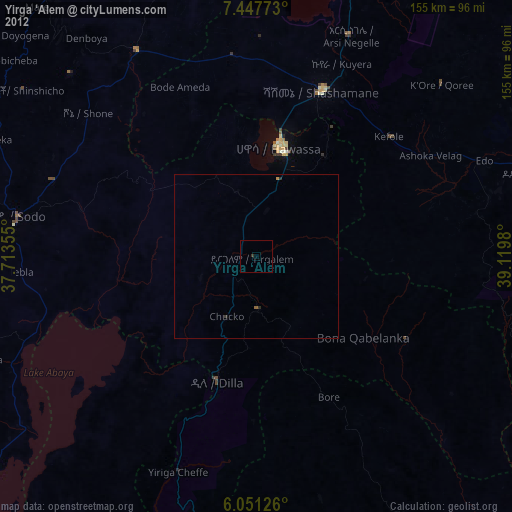
» Earth at Night: Flat Maps 2012, 2016