Valdepeñas night lights from space
Night Light of Valdepeñas (Castille-La Mancha) from space (Spain) Src. Average luminocity for 10x10km area is 18.9507% and for 50x50km: 2.4017%.
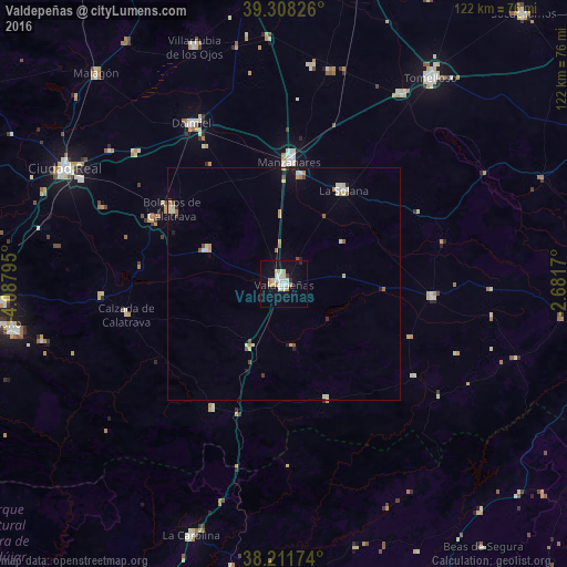
Analysis of Valdepeñas night lights 2016
Square area 10x10 km:
 4.08%
4.08%90-99
4.42%80-89
2.21%70-79
2.21%60-69
2.04%50-59
0%40-49
0.34%30-39
0.68%20-29
1.02%10-19
14.8%0-9
68.2%Square area 50x50 km:
0.3%90-99
0.45%80-89
0.4%70-79
0.27%60-69
0.3%50-59
0.18%40-49
0.2%30-39
0.17%20-29
0.18%10-19
0.88%0-9
96.67%Clear (daylight) street map image can be seen on geolist.org.
Map coordinates:
39° 18' 29.7" North, 4° 5' 16.6" West
38° 45' 43.6" North, 3° 23' 5.4" West
38° 12' 42.3" North, 2° 40' 54.1" West
Some cities around Valdepeñas sort by population:
• Manzanares
26.4 km =16.4 mi,  2°
2°
• Daimiel
39.6 km =24.6 mi,  329°
329°
• La Solana
23.9 km =14.9 mi,  32°
32°
• Bolaños de Calatrava
29 km =18 mi,  303°
303°
• Almagro
31.6 km =19.6 mi, 296°
• Membrilla
23.6 km =14.7 mi,  8°
8°
• Infantes
32.4 km =20.1 mi,  94°
94°
• Moral de Calatrava
18.4 km =11.4 mi,  294°
294°
2509982 (p: 31,147)
Sources (retrieved 2019-11-25):
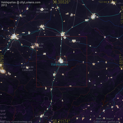
» Earth at Night: Flat Maps 2012, 2016