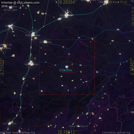
Infantes night lights from space
Night Light of Infantes (Castille-La Mancha) from space (Spain) Src. Average luminocity for 10x10km area is 5.4473% and for 50x50km: 1.276%.
Analysis of Infantes night lights 2016
Square area 10x10 km:
 0.34%
0.34%90-99
1.02%80-89
1.36%70-79
1.36%60-69
0.68%50-59
0%40-49
0.34%30-39
0.34%20-29
1.36%10-19
0%0-9
93.2%Square area 50x50 km:
0.08%90-99
0.33%80-89
0.3%70-79
0.18%60-69
0.18%50-59
0.16%40-49
0.03%30-39
0.09%20-29
0.22%10-19
0.01%0-9
98.42%Clear (daylight) street map image can be seen on geolist.org.
Map coordinates:
39° 16' 58.9" North, 3° 42' 55.2" West
38° 44' 12.1" North, 3° 0' 43.9" West
38° 11' 10.1" North, 2° 18' 32.7" West
Some cities around Infantes sort by population:
• Tomelloso
46.8 km =29.1 mi,  359°
359°
• Valdepeñas
32.4 km =20.1 mi,  274°
274°
• Manzanares
42.6 km =26.5 mi,  313°
313°
• La Solana
30.3 km =18.8 mi,  319°
319°
• Argamasilla de Alba
44.2 km =27.5 mi,  350°
350°
• Membrilla
38.8 km =24.1 mi, 312°
• Beas de Segura
54.9 km =34.1 mi,  168°
168°
• Moral de Calatrava
50.1 km =31.1 mi,  281°
281°
2516449 (p: 5,835)
Sources (retrieved 2019-11-25):
» Earth at Night: Flat Maps 2012, 2016