Bolaños de Calatrava night lights from space
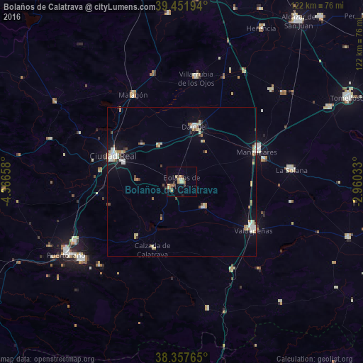
Night Light of Bolaños de Calatrava (Castille-La Mancha) from space (Spain) Src. Average luminocity for 10x10km area is 12.9422% and for 50x50km: 4.1426%.
Analysis of Bolaños de Calatrava night lights 2016
Square area 10x10 km:
 0.34%
0.34%90-99
0.34%80-89
3.74%70-79
3.23%60-69
2.72%50-59
0.51%40-49
1.87%30-39
2.04%20-29
1.19%10-19
0.51%0-9
83.5%Square area 50x50 km:
0.51%90-99
0.79%80-89
0.66%70-79
0.57%60-69
0.53%50-59
0.26%40-49
0.35%30-39
0.43%20-29
0.24%10-19
2.04%0-9
93.63%Clear (daylight) street map image can be seen on geolist.org.
Map coordinates:
39° 27' 7" North, 4° 21' 59.7" West
38° 54' 24.8" North, 3° 39' 48.4" West
38° 21' 27.5" North, 2° 57' 37.2" West
Some cities around Bolaños de Calatrava sort by population:
• Ciudad Real
24.6 km =15.3 mi,  291°
291°
• Valdepeñas
29 km =18 mi,  123°
123°
• Manzanares
27.4 km =17 mi,  67°
67°
• Daimiel
18.6 km =11.6 mi,  13°
13°
• Miguelturra
20.7 km =12.9 mi, 288°
• Almagro
4.6 km =2.9 mi,  244°
244°
• Membrilla
28.6 km =17.8 mi,  75°
75°
• Moral de Calatrava
11.3 km =7 mi,  139°
139°
2520875 (p: 12,490)
Sources (retrieved 2019-11-25):
» Earth at Night: Flat Maps 2012, 2016