Sabadell night lights from space
Night Light of Sabadell (Catalonia) from space (Spain) Src. Average luminocity for 10x10km area is 85.6361% and for 50x50km: 46.604%.
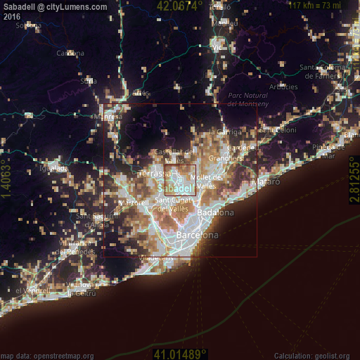
Analysis of Sabadell night lights 2016
Square area 10x10 km:
 28.23%
90-99
25.85%80-89
10.2%70-79
14.8%60-69
13.27%50-59
6.46%40-49
1.19%30-39
0%20-29
0%10-19
0%0-9
0%Square area 50x50 km:
11.19%90-99
10.39%80-89
4.81%70-79
5.95%60-69
8.32%50-59
6.31%40-49
4.51%30-39
5.01%20-29
8.96%10-19
10.66%0-9
23.89%Clear (daylight) street map image can be seen on geolist.org.
Map coordinates:
42° 4' 2.6" North, 1° 24' 22.7" East
41° 32' 35.8" North, 2° 6' 33.9" East
41° 0' 53.6" North, 2° 48' 45.2" East
Some cities around Sabadell sort by population:
• Cerdanyola del Vallès
6.4 km =4 mi,  155°
155°
• Ripollet
6.5 km =4 mi,  142°
142°
• Barberà del Vallès
3.3 km =2.1 mi, 157°
• Santa Perpètua de Mogoda
6.3 km =3.9 mi,  100°
100°
• Sant Quirze del Vallès
2.4 km =1.5 mi,  242°
242°
• La Llagosta
7.7 km =4.8 mi,  114°
114°
• Sentmenat
7.6 km =4.7 mi,  16°
16°
• Polinyà
3.5 km =2.2 mi,  77°
77°
3111199 (p: 206,493)
Sources (retrieved 2019-11-25):
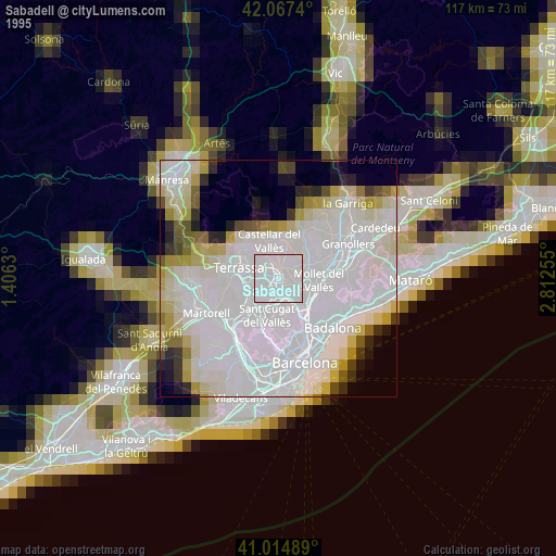
» NASA, Earths city lights 1995
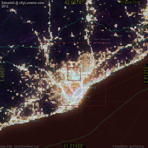
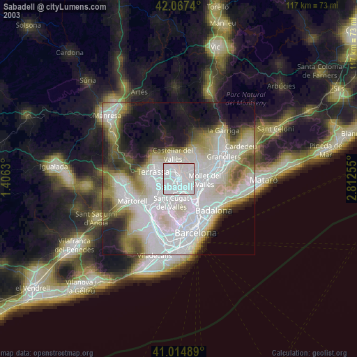
» NASA city lights 2003
» Earth at Night: Flat Maps 2012, 2016