Rubí night lights from space
Night Light of Rubí (Catalonia) from space (Spain) Src. Average luminocity for 10x10km area is 84.5204% and for 50x50km: 48.3285%.
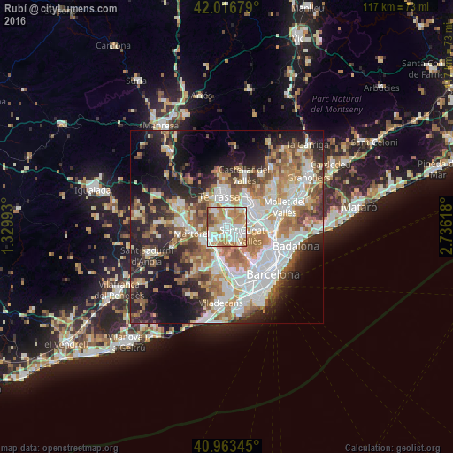
Analysis of Rubí night lights 2016
Square area 10x10 km:
 24.32%
90-99
23.98%80-89
13.78%70-79
14.97%60-69
18.03%50-59
0.68%40-49
4.25%30-39
0%20-29
0%10-19
0%0-9
0%Square area 50x50 km:
11.37%90-99
10.6%80-89
4.96%70-79
6.03%60-69
8.59%50-59
6.93%40-49
4.53%30-39
4.78%20-29
10.2%10-19
13.93%0-9
18.09%Clear (daylight) street map image can be seen on geolist.org.
Map coordinates:
42° 1' 0.4" North, 1° 19' 47.7" East
41° 29' 32.1" North, 2° 1' 59" East
40° 57' 48.4" North, 2° 44' 10.2" East
Some cities around Rubí sort by population:
• Terrassa
8.4 km =5.2 mi,  350°
350°
• Sabadell
8.5 km =5.3 mi,  48°
48°
• Sant Cugat del Vallès
5 km =3.1 mi,  118°
118°
• Barberà del Vallès
8.1 km =5 mi,  70°
70°
• Sant Andreu de la Barca
7.2 km =4.5 mi,  225°
225°
• Sant Quirze del Vallès
6.2 km =3.9 mi,  42°
42°
• Castellbisbal
4.7 km =2.9 mi,  246°
246°
• Pallejà
8.2 km =5.1 mi,  202°
202°
3111294 (p: 72,987)
Sources (retrieved 2019-11-25):
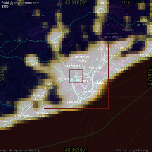
» NASA, Earths city lights 1995
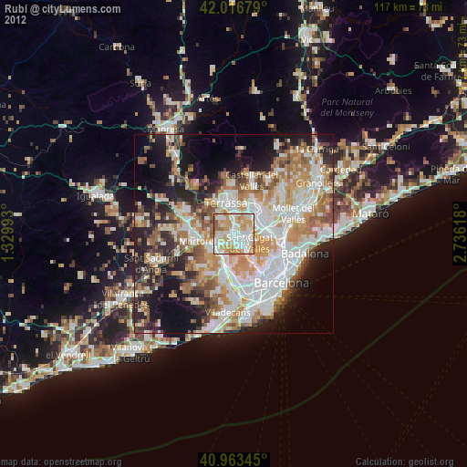
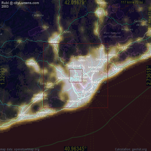
» NASA city lights 2003
» Earth at Night: Flat Maps 2012, 2016