Pinto night lights from space
Night Light of Pinto (Madrid) from space (Spain) Src. Average luminocity for 10x10km area is 63.3458% and for 50x50km: 46.6245%.
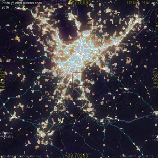
Analysis of Pinto night lights 2016
Square area 10x10 km:
 15.58%
90-99
16.56%80-89
8.28%70-79
5.84%60-69
5.84%50-59
4.22%40-49
7.14%30-39
18.34%20-29
18.18%10-19
0%0-9
0%Square area 50x50 km:
12.77%90-99
11.53%80-89
4.34%70-79
5.58%60-69
5.33%50-59
4.43%40-49
3.9%30-39
5.5%20-29
9.89%10-19
15.85%0-9
20.91%Clear (daylight) street map image can be seen on geolist.org.
Map coordinates:
40° 46' 33.8" North, 4° 24' 11.2" West
40° 14' 29.3" North, 3° 41' 60" West
39° 42' 9.5" North, 2° 59' 48.7" West
Some cities around Pinto sort by population:
• Fuenlabrada
9.3 km =5.8 mi,  300°
300°
• Leganés
10.9 km =6.8 mi,  330°
330°
• Getafe
7.7 km =4.8 mi,  338°
338°
• Parla
5.8 km =3.6 mi,  263°
263°
• Valdemoro
5.9 km =3.7 mi,  162°
162°
• Ciempozuelos
11.3 km =7 mi,  143°
143°
• Humanes de Madrid
11.1 km =6.9 mi,  275°
275°
• Torrejón de la Calzada
9.5 km =5.9 mi,  240°
240°
3113415 (p: 43,501)
Sources (retrieved 2019-11-25):
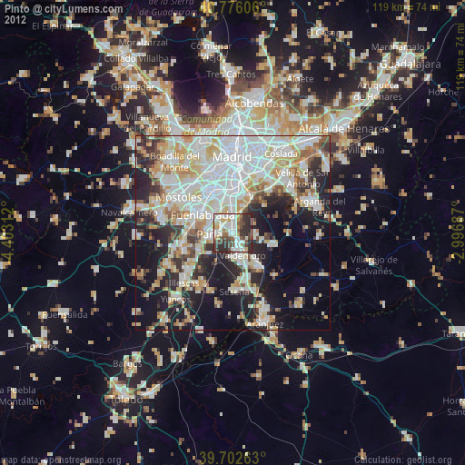
» Earth at Night: Flat Maps 2012, 2016