Ciempozuelos night lights from space
Night Light of Ciempozuelos (Madrid) from space (Spain) Src. Average luminocity for 10x10km area is 40.6672% and for 50x50km: 32.8786%.
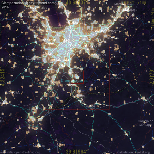
Analysis of Ciempozuelos night lights 2016
Square area 10x10 km:
 6.17%
6.17%90-99
9.42%80-89
4.22%70-79
3.73%60-69
4.87%50-59
4.71%40-49
3.08%30-39
6.01%20-29
23.21%10-19
25.65%0-9
8.93%Square area 50x50 km:
7.32%90-99
7.7%80-89
3.4%70-79
3.51%60-69
4.13%50-59
3.14%40-49
3.05%30-39
4.2%20-29
8.54%10-19
15.39%0-9
39.62%Clear (daylight) street map image can be seen on geolist.org.
Map coordinates:
40° 41' 39.7" North, 4° 19' 26.9" West
40° 9' 32.9" North, 3° 37' 15.7" West
39° 37' 10.7" North, 2° 55' 4.4" West
Some cities around Ciempozuelos sort by population:
• Parla
15.1 km =9.4 mi,  304°
304°
• Valdemoro
6 km =3.7 mi,  305°
305°
• Aranjuez
14.3 km =8.9 mi,  173°
173°
• Pinto
11.3 km =7 mi,  323°
323°
• San Martín de la Vega
6.9 km =4.3 mi,  38°
38°
• Seseña
8.9 km =5.5 mi,  227°
227°
• Morata de Tajuña
17.7 km =11 mi,  64°
64°
• Torrejón de la Calzada
15.6 km =9.7 mi,  286°
286°
3125082 (p: 22,132)
Sources (retrieved 2019-11-25):
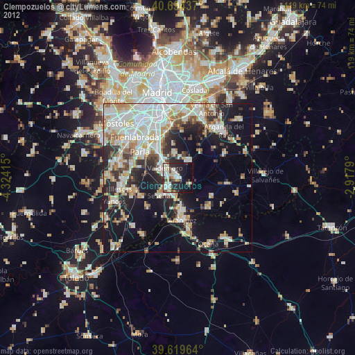
» Earth at Night: Flat Maps 2012, 2016