Olot night lights from space
Night Light of Olot (Catalonia) from space (Spain) Src. Average luminocity for 10x10km area is 21.0788% and for 50x50km: 5.5578%.
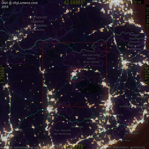
Analysis of Olot night lights 2016
Square area 10x10 km:
 1.82%
1.82%90-99
4.55%80-89
1.52%70-79
1.82%60-69
2.42%50-59
4.24%40-49
4.24%30-39
3.03%20-29
0.91%10-19
19.09%0-9
56.36%Square area 50x50 km:
0.56%90-99
0.76%80-89
0.49%70-79
0.56%60-69
0.69%50-59
0.95%40-49
0.68%30-39
0.79%20-29
1.45%10-19
4.82%0-9
88.24%Clear (daylight) street map image can be seen on geolist.org.
Map coordinates:
42° 41' 59.5" North, 1° 47' 13.2" East
42° 10' 51.5" North, 2° 29' 24.4" East
41° 39' 28" North, 3° 11' 35.7" East
Some cities around Olot sort by population:
• Salt
33.9 km =21.1 mi,  132°
132°
• Manlleu
26.1 km =16.2 mi,  220°
220°
• Banyoles
23.9 km =14.9 mi,  107°
107°
• Vilaseca
23.5 km =14.6 mi,  235°
235°
• Torelló
23.7 km =14.7 mi,  230°
230°
• Ripoll
24.8 km =15.4 mi,  275°
275°
• Sant Cristòfol de les Fonts
1.5 km =0.9 mi,  148°
148°
• Anglès
27.7 km =17.2 mi, 154°
3115093 (p: 33,524)
Sources (retrieved 2019-11-25):
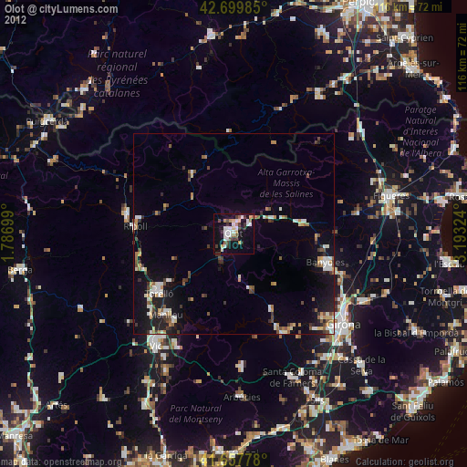
» Earth at Night: Flat Maps 2012, 2016