Manlleu night lights from space
Night Light of Manlleu (Catalonia) from space (Spain) Src. Average luminocity for 10x10km area is 24.1873% and for 50x50km: 6.4728%.
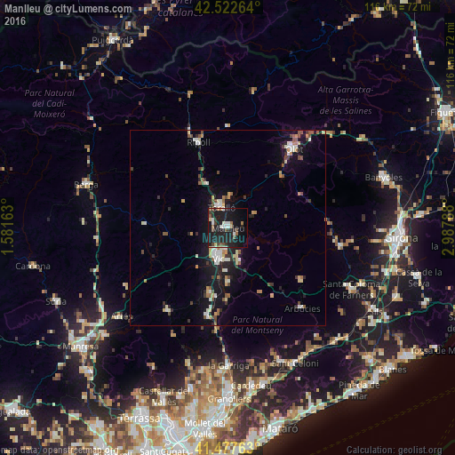
Analysis of Manlleu night lights 2016
Square area 10x10 km:
 3.02%
3.02%90-99
3.65%80-89
1.27%70-79
0.32%60-69
2.22%50-59
3.65%40-49
3.33%30-39
3.02%20-29
12.22%10-19
43.81%0-9
23.49%Square area 50x50 km:
0.74%90-99
1.04%80-89
0.67%70-79
0.59%60-69
0.59%50-59
0.98%40-49
0.9%30-39
0.74%20-29
1.62%10-19
6.05%0-9
86.07%Clear (daylight) street map image can be seen on geolist.org.
Map coordinates:
42° 31' 21.5" North, 1° 34' 53.9" East
42° 0' 8.2" North, 2° 17' 5.1" East
41° 28' 39.5" North, 2° 59' 16.4" East
Some cities around Manlleu sort by population:
• Vic
8.4 km =5.2 mi,  197°
197°
• Vilaseca
7 km =4.3 mi,  339°
339°
• Torelló
5.1 km =3.2 mi, 343°
• Ripoll
23.4 km =14.5 mi, 340°
• Sant Cristòfol de les Fonts
25.7 km =16 mi,  43°
43°
• Tona
17.8 km =11.1 mi, 195°
• Centelles
23.4 km =14.5 mi,  193°
193°
• Taradell
14.2 km =8.8 mi,  179°
179°
3117539 (p: 20,647)
Sources (retrieved 2019-11-25):
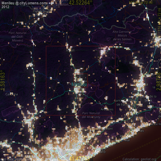
» Earth at Night: Flat Maps 2012, 2016