Móstoles night lights from space
Night Light of Móstoles (Madrid) from space (Spain) Src. Average luminocity for 10x10km area is 84.4524% and for 50x50km: 48.1255%.
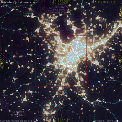
Analysis of Móstoles night lights 2016
Square area 10x10 km:
 29.42%
90-99
27.55%80-89
6.97%70-79
10.03%60-69
11.73%50-59
9.35%40-49
3.23%30-39
1.7%20-29
0%10-19
0%0-9
0%Square area 50x50 km:
14.15%90-99
12.17%80-89
4.61%70-79
5.34%60-69
4.97%50-59
4.38%40-49
4.19%30-39
5.39%20-29
9.33%10-19
13.48%0-9
21.99%Clear (daylight) street map image can be seen on geolist.org.
Map coordinates:
40° 51' 22.6" North, 4° 34' 5.1" West
40° 19' 20.4" North, 3° 51' 53.9" West
39° 47' 2.9" North, 3° 9' 42.6" West
Some cities around Móstoles sort by population:
• Fuenlabrada
7.4 km =4.6 mi,  125°
125°
• Leganés
8.6 km =5.3 mi,  86°
86°
• Alcorcón
4.3 km =2.7 mi,  52°
52°
• Getafe
11.3 km =7 mi,  99°
99°
• Boadilla del Monte
9.3 km =5.8 mi,  352°
352°
• Villaviciosa de Odón
5.2 km =3.2 mi,  320°
320°
• Humanes de Madrid
8.5 km =5.3 mi,  159°
159°
• Arroyomolinos
7.5 km =4.7 mi,  218°
218°
3116025 (p: 206,478)
Sources (retrieved 2019-11-25):
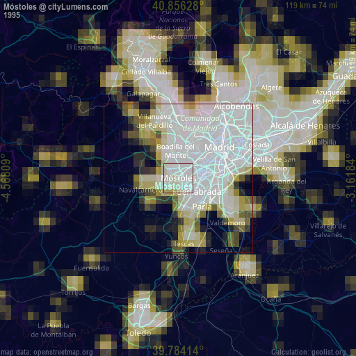
» NASA, Earths city lights 1995
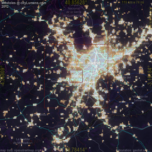
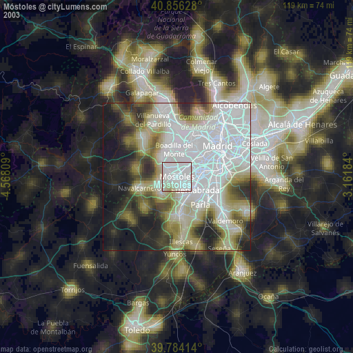
» NASA city lights 2003
» Earth at Night: Flat Maps 2012, 2016