Miajadas night lights from space
Night Light of Miajadas (Extremadura) from space (Spain) Src. Average luminocity for 10x10km area is 13.0958% and for 50x50km: 3.1576%.
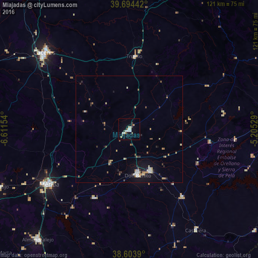
Analysis of Miajadas night lights 2016
Square area 10x10 km:
 2.76%
2.76%90-99
2.76%80-89
0.97%70-79
1.95%60-69
0.65%50-59
0.65%40-49
1.14%30-39
2.11%20-29
0.32%10-19
1.14%0-9
85.55%Square area 50x50 km:
0.37%90-99
0.4%80-89
0.42%70-79
0.5%60-69
0.4%50-59
0.36%40-49
0.3%30-39
0.5%20-29
0.4%10-19
1.77%0-9
94.58%Clear (daylight) street map image can be seen on geolist.org.
Map coordinates:
39° 41' 39.9" North, 6° 36' 41.5" West
39° 9' 4.6" North, 5° 54' 30.3" West
38° 36' 14" North, 5° 12' 19" West
Some cities around Miajadas sort by population:
• Mérida
45.8 km =28.5 mi,  235°
235°
• Don Benito
22.1 km =13.7 mi,  169°
169°
• Villanueva de la Serena
21.7 km =13.5 mi,  153°
153°
• Trujillo
34.2 km =21.3 mi,  3°
3°
• Guareña
36.4 km =22.6 mi,  207°
207°
• Calamonte
50.7 km =31.5 mi,  234°
234°
• Campanario
40.6 km =25.2 mi,  141°
141°
• Quintana de la Serena
49.5 km =30.8 mi,  155°
155°
2513893 (p: 10,338)
Sources (retrieved 2019-11-25):
» Earth at Night: Flat Maps 2012, 2016