Trujillo night lights from space
Night Light of Trujillo (Extremadura) from space (Spain) Src. Average luminocity for 10x10km area is 8.568% and for 50x50km: 0.7841%.
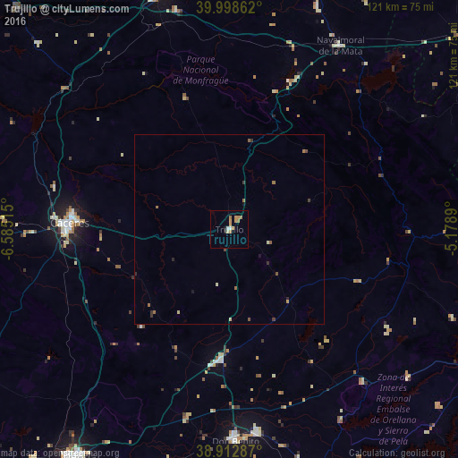
Analysis of Trujillo night lights 2016
Square area 10x10 km:
 0.68%
0.68%90-99
0.68%80-89
0.68%70-79
3.74%60-69
3.06%50-59
0%40-49
0%30-39
0%20-29
0.34%10-19
1.02%0-9
89.8%Square area 50x50 km:
0.03%90-99
0.07%80-89
0.09%70-79
0.16%60-69
0.3%50-59
0.11%40-49
0.07%30-39
0.16%20-29
0.1%10-19
0.12%0-9
98.79%Clear (daylight) street map image can be seen on geolist.org.
Map coordinates:
39° 59' 55" North, 6° 35' 6.5" West
39° 27' 28.3" North, 5° 52' 55.3" West
38° 54' 46.3" North, 5° 10' 44" West
Some cities around Trujillo sort by population:
• Cáceres
42.1 km =26.2 mi,  272°
272°
• Plasencia
66.1 km =41.1 mi,  344°
344°
• Don Benito
55.8 km =34.7 mi,  178°
178°
• Villanueva de la Serena
54 km =33.6 mi,  172°
172°
• Navalmoral de la Mata
56.4 km =35 mi,  31°
31°
• Miajadas
34.2 km =21.3 mi, 183°
• Talayuela
63.3 km =39.3 mi,  21°
21°
• Arroyo de la Luz
60.3 km =37.5 mi, 272°
2510145 (p: 9,317)
Sources (retrieved 2019-11-25):
» Earth at Night: Flat Maps 2012, 2016