Don Benito night lights from space
Night Light of Don Benito (Extremadura) from space (Spain) Src. Average luminocity for 10x10km area is 21.0974% and for 50x50km: 3.6245%.
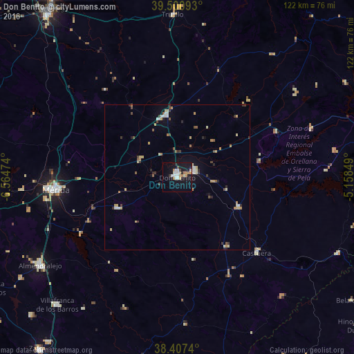
Analysis of Don Benito night lights 2016
Square area 10x10 km:
 4.06%
4.06%90-99
3.41%80-89
2.11%70-79
3.57%60-69
2.44%50-59
0.49%40-49
0.81%30-39
0.65%20-29
1.79%10-19
30.68%0-9
50%Square area 50x50 km:
0.4%90-99
0.48%80-89
0.59%70-79
0.61%60-69
0.36%50-59
0.35%40-49
0.37%30-39
0.49%20-29
0.42%10-19
1.83%0-9
94.1%Clear (daylight) street map image can be seen on geolist.org.
Map coordinates:
39° 30' 3.3" North, 6° 33' 53.1" West
38° 57' 22.6" North, 5° 51' 41.8" West
38° 24' 26.6" North, 5° 9' 30.6" West
Some cities around Don Benito sort by population:
• Mérida
41.9 km =26 mi,  263°
263°
• Villanueva de la Serena
6 km =3.7 mi,  67°
67°
• Miajadas
22.1 km =13.7 mi,  349°
349°
• Guareña
23.3 km =14.5 mi,  242°
242°
• Castuera
37.1 km =23.1 mi,  132°
132°
• Calamonte
46.1 km =28.6 mi, 260°
• Campanario
23.5 km =14.6 mi,  115°
115°
• Quintana de la Serena
28.6 km =17.8 mi,  144°
144°
2518820 (p: 35,791)
Sources (retrieved 2019-11-25):
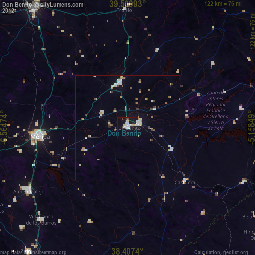
» Earth at Night: Flat Maps 2012, 2016