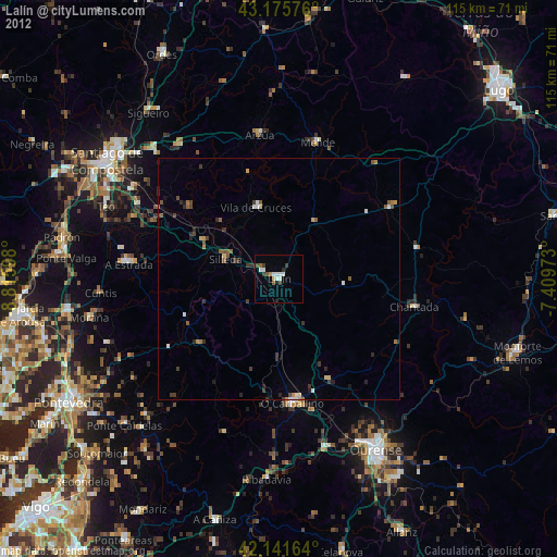
Lalín night lights from space
Night Light of Lalín (Galicia) from space (Spain) Src. Average luminocity for 10x10km area is 13.4152% and for 50x50km: 2.1374%.
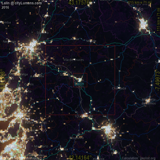
Analysis of Lalín night lights 2016
Square area 10x10 km:
 1.67%
1.67%90-99
3.79%80-89
0%70-79
2.42%60-69
0.15%50-59
1.36%40-49
1.52%30-39
3.33%20-29
1.21%10-19
1.52%0-9
83.03%Square area 50x50 km:
0.1%90-99
0.45%80-89
0.12%70-79
0.29%60-69
0.2%50-59
0.34%40-49
0.25%30-39
0.48%20-29
0.56%10-19
0.36%0-9
96.84%Clear (daylight) street map image can be seen on geolist.org.
Map coordinates:
43° 10' 32.7" North, 8° 48' 57.5" West
42° 39' 39.1" North, 8° 6' 46.3" West
42° 8' 29.9" North, 7° 24' 35" West
Some cities around Lalín sort by population:
• Ribeira
28.7 km =17.8 mi,  289°
289°
• A Estrada
30.9 km =19.2 mi,  275°
275°
• Teo
33.1 km =20.6 mi, 287°
• O Carballiño
25.6 km =15.9 mi,  173°
173°
• Chantada
28.5 km =17.7 mi,  101°
101°
• Silleda
11.6 km =7.2 mi, 289°
• Arzúa
30.4 km =18.9 mi,  354°
354°
• Vedra
32.4 km =20.1 mi, 293°
3119536 (p: 21,254)
Sources (retrieved 2019-11-25):
» Earth at Night: Flat Maps 2012, 2016