A Estrada night lights from space
Night Light of A Estrada (Galicia) from space (Spain) Src. Average luminocity for 10x10km area is 7.0894% and for 50x50km: 15.5384%.
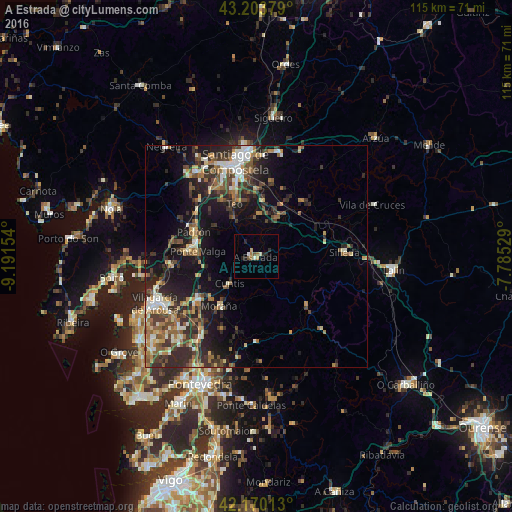
Analysis of A Estrada night lights 2016
Square area 10x10 km:
100  0%
0%
90-99 1.82%
80-89 0%
70-79 1.21%
60-69 1.82%
50-59 0.45%
40-49 0.76%
30-39 0.15%
20-29 3.33%
10-19 0.76%
0-9 89.7%
0%90-99
1.82%80-89
0%70-79
1.21%60-69
1.82%50-59
0.45%40-49
0.76%30-39
0.15%20-29
3.33%10-19
0.76%0-9
89.7%Square area 50x50 km:
100 1.18%
90-99 2.55%
80-89 1.57%
70-79 1.66%
60-69 2.58%
50-59 2.72%
40-49 2.82%
30-39 3.57%
20-29 5.77%
10-19 10.34%
0-9 65.25%
1.18%90-99
2.55%80-89
1.57%70-79
1.66%60-69
2.58%50-59
2.72%40-49
2.82%30-39
3.57%20-29
5.77%10-19
10.34%0-9
65.25%Clear (daylight) street map image can be seen on geolist.org.
Map coordinates:
43° 12' 13.6" North, 9° 11' 29.5" West
42° 41' 20.8" North, 8° 29' 18.3" West
42° 10' 12.5" North, 7° 47' 7" West
Some cities around A Estrada sort by population:
• Ribeira
7.3 km =4.5 mi,  29°
29°
• Teo
6.8 km =4.2 mi,  352°
352°
• Caldas de Reis
15.7 km =9.8 mi,  233°
233°
• Padrón
15.1 km =9.4 mi,  291°
291°
• Silleda
19.8 km =12.3 mi,  87°
87°
• Valga
12.4 km =7.7 mi,  274°
274°
• Cuntis
8.6 km =5.3 mi,  224°
224°
• Vedra
10 km =6.2 mi,  5°
5°
3119746 (p: 21,880)
Sources (retrieved 2019-11-25):
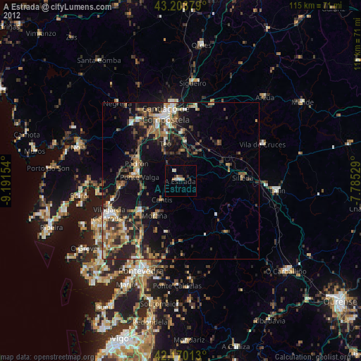
» Earth at Night: Flat Maps 2012, 2016