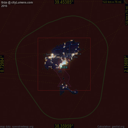
Ibiza night lights from space
Night Light of Ibiza (Balearic Islands) from space (Spain) Src. Average luminocity for 10x10km area is 43.335% and for 50x50km: 5.0215%.

Analysis of Ibiza night lights 2016
Square area 10x10 km:
 8.5%
8.5%90-99
9.01%80-89
6.97%70-79
3.23%60-69
4.93%50-59
5.78%40-49
1.87%30-39
6.12%20-29
14.97%10-19
29.93%0-9
8.67%Square area 50x50 km:
0.57%90-99
0.62%80-89
0.92%70-79
0.39%60-69
0.59%50-59
0.62%40-49
0.47%30-39
0.66%20-29
1.12%10-19
5.13%0-9
88.9%Clear (daylight) street map image can be seen on geolist.org.
Map coordinates:
39° 27' 13.9" North, 0° 43' 47.4" East
38° 54' 31.8" North, 1° 25' 58.7" East
38° 21' 34.5" North, 2° 8' 9.9" East
Some cities around Ibiza sort by population:
• Denia
115.1 km =71.5 mi,  266°
266°
• Javea
110.5 km =68.7 mi,  262°
262°
• Santa Eulària des Riu
12.1 km =7.5 mi,  46°
46°
• Sant Antoni de Portmany
13.7 km =8.5 mi,  305°
305°
• Teulada
116.9 km =72.6 mi, 260°
• Andratx
112.8 km =70.1 mi, 48°
• Santa Ponsa
112 km =69.6 mi, 53°
• Son Ferrer
112.9 km =70.2 mi, 54°
2516479 (p: 48,684)
Sources (retrieved 2019-11-25):
» Earth at Night: Flat Maps 2012, 2016