Sant Antoni de Portmany night lights from space
Night Light of Sant Antoni de Portmany (Balearic Islands) from space (Spain) Src. Average luminocity for 10x10km area is 23.711% and for 50x50km: 4.8155%.
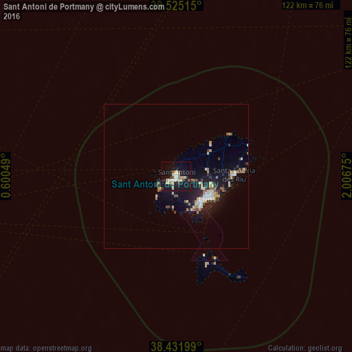
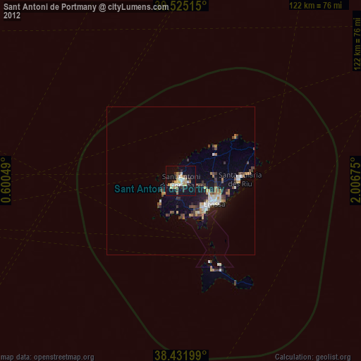
Analysis of Sant Antoni de Portmany night lights 2016
Square area 10x10 km:
 3.25%
3.25%90-99
3.41%80-89
4.38%70-79
2.6%60-69
2.6%50-59
1.62%40-49
2.27%30-39
2.27%20-29
2.27%10-19
37.5%0-9
37.82%Square area 50x50 km:
0.55%90-99
0.62%80-89
0.84%70-79
0.38%60-69
0.55%50-59
0.62%40-49
0.46%30-39
0.65%20-29
1.04%10-19
5.07%0-9
89.22%Clear (daylight) street map image can be seen on geolist.org.
Map coordinates:
39° 31' 30.5" North, 0° 36' 1.8" East
38° 58' 50.4" North, 1° 18' 13" East
38° 25' 55.2" North, 2° 0' 24.3" East
Some cities around Sant Antoni de Portmany sort by population:
• Ibiza
13.7 km =8.5 mi,  125°
125°
• Denia
104.8 km =65.1 mi,  261°
261°
• Javea
100.8 km =62.6 mi, 257°
• Santa Eulària des Riu
19.9 km =12.4 mi,  88°
88°
• Teulada
107.6 km =66.9 mi,  254°
254°
• Benissa
112.6 km =70 mi, 254°
• Pedreguer
111.8 km =69.5 mi, 259°
• Gata de Gorgos
107.9 km =67 mi, 257°
2511448 (p: 21,852)
Sources (retrieved 2019-11-25):
» Earth at Night: Flat Maps 2012, 2016