Denia night lights from space
Night Light of Denia (Valencia) from space (Spain) Src. Average luminocity for 10x10km area is 29.8639% and for 50x50km: 10.086%.
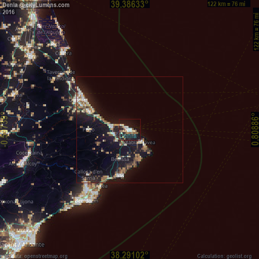
Analysis of Denia night lights 2016
Square area 10x10 km:
 4.42%
4.42%90-99
4.42%80-89
4.25%70-79
2.21%60-69
3.4%50-59
4.93%40-49
1.36%30-39
3.4%20-29
11.56%10-19
40.65%0-9
19.39%Square area 50x50 km:
1%90-99
1.35%80-89
1.23%70-79
0.89%60-69
1.18%50-59
1.84%40-49
1.13%30-39
1.43%20-29
2.55%10-19
13.45%0-9
73.95%Clear (daylight) street map image can be seen on geolist.org.
Map coordinates:
39° 23' 10.8" North, 0° 35' 50.6" West
38° 50' 26.8" North, 0° 6' 20.7" East
38° 17' 27.7" North, 0° 48' 31.9" East
Some cities around Denia sort by population:
• Javea
8.3 km =5.2 mi,  140°
140°
• Oliva
21.4 km =13.3 mi,  294°
294°
• Teulada
12.4 km =7.7 mi,  180°
180°
• Benissa
14.8 km =9.2 mi,  199°
199°
• Pego
19.3 km =12 mi,  270°
270°
• Pedreguer
8.2 km =5.1 mi,  229°
229°
• Ondara
7.8 km =4.8 mi,  259°
259°
• Gata de Gorgos
7.6 km =4.7 mi,  193°
193°
2518878 (p: 44,464)
Sources (retrieved 2019-11-25):
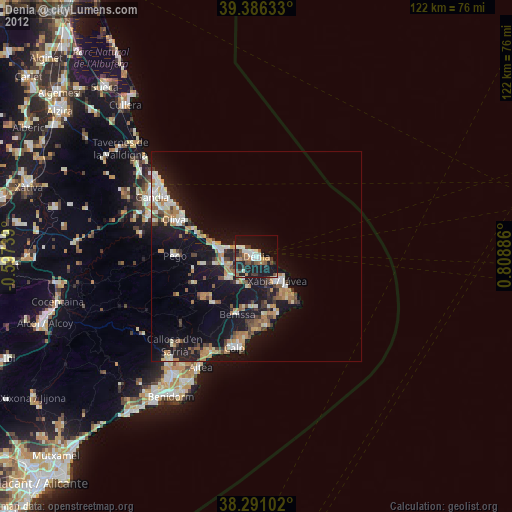
» Earth at Night: Flat Maps 2012, 2016