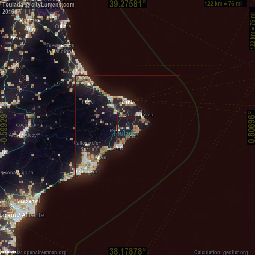
Teulada night lights from space
Night Light of Teulada (Valencia) from space (Spain) Src. Average luminocity for 10x10km area is 24.7347% and for 50x50km: 12.5098%.
Analysis of Teulada night lights 2016
Square area 10x10 km:
100  0%
0%
90-99 1.36%
80-89 2.21%
70-79 1.87%
60-69 4.42%
50-59 6.29%
40-49 4.59%
30-39 7.65%
20-29 4.08%
10-19 62.24%
0-9 5.27%
0%90-99
1.36%80-89
2.21%70-79
1.87%60-69
4.42%50-59
6.29%40-49
4.59%30-39
7.65%20-29
4.08%10-19
62.24%0-9
5.27%Square area 50x50 km:
100 1.47%
90-99 1.77%
80-89 1.69%
70-79 1.31%
60-69 1.45%
50-59 2.14%
40-49 1.25%
30-39 1.78%
20-29 3.45%
10-19 14.03%
0-9 69.67%
1.47%90-99
1.77%80-89
1.69%70-79
1.31%60-69
1.45%50-59
2.14%40-49
1.25%30-39
1.78%20-29
3.45%10-19
14.03%0-9
69.67%Clear (daylight) street map image can be seen on geolist.org.
Map coordinates:
39° 16' 32.9" North, 0° 35' 57.4" West
38° 43' 45.8" North, 0° 6' 13.8" East
38° 10' 43.6" North, 0° 48' 25.1" East
Some cities around Teulada sort by population:
• Denia
12.4 km =7.7 mi,  0°
0°
• Javea
8.1 km =5 mi,  42°
42°
• Calp
10.7 km =6.6 mi,  208°
208°
• Altea
19.8 km =12.3 mi,  222°
222°
• Benissa
5.1 km =3.2 mi,  251°
251°
• Pedreguer
9.3 km =5.8 mi,  319°
319°
• Ondara
13.3 km =8.3 mi,  325°
325°
• Gata de Gorgos
5.3 km =3.3 mi,  342°
342°
2510488 (p: 14,620)
Sources (retrieved 2019-11-25):
» Earth at Night: Flat Maps 2012, 2016