Hoyo de Manzanares night lights from space
Night Light of Hoyo de Manzanares (Madrid) from space (Spain) Src. Average luminocity for 10x10km area is 27.3929% and for 50x50km: 32.0484%.
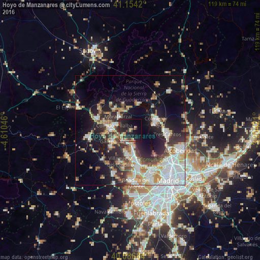
Analysis of Hoyo de Manzanares night lights 2016
Square area 10x10 km:
 1.3%
1.3%90-99
3.57%80-89
1.62%70-79
4.71%60-69
6.82%50-59
1.62%40-49
2.27%30-39
3.9%20-29
22.24%10-19
25.16%0-9
26.79%Square area 50x50 km:
7.66%90-99
7.04%80-89
2.9%70-79
4.19%60-69
3.31%50-59
2.56%40-49
3.23%30-39
4.48%20-29
8.29%10-19
14.81%0-9
41.54%Clear (daylight) street map image can be seen on geolist.org.
Map coordinates:
41° 9' 15.1" North, 4° 36' 37.7" West
40° 37' 21.5" North, 3° 54' 26.4" West
40° 5' 12.6" North, 3° 12' 15.2" West
Some cities around Hoyo de Manzanares sort by population:
• Collado-Villalba
8.3 km =5.2 mi,  279°
279°
• Galapagar
9.6 km =6 mi,  238°
238°
• Torrelodones
5.4 km =3.4 mi,  197°
197°
• Las Matas
7.3 km =4.5 mi,  169°
169°
• Alpedrete
10.7 km =6.6 mi,  292°
292°
• Moralzarzal
8.2 km =5.1 mi,  319°
319°
• Colmenarejo
11.6 km =7.2 mi,  233°
233°
• Boalo
10.4 km =6.5 mi,  355°
355°
3120605 (p: 7,093)
Sources (retrieved 2019-11-25):
» Earth at Night: Flat Maps 2012, 2016