Galapagar night lights from space
Night Light of Galapagar (Madrid) from space (Spain) Src. Average luminocity for 10x10km area is 49.4205% and for 50x50km: 29.4594%.
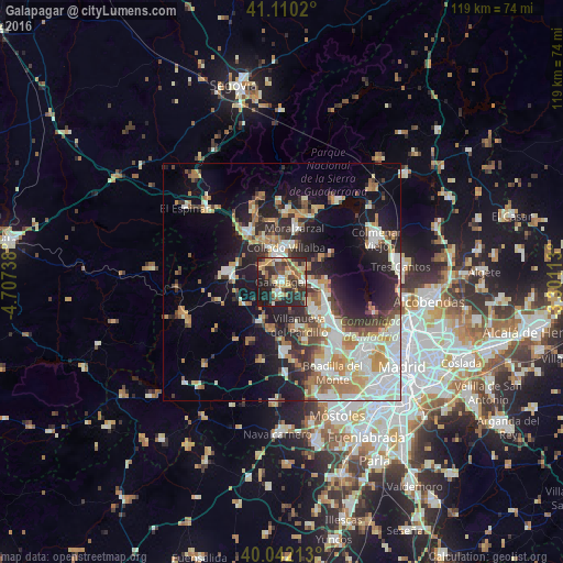
Analysis of Galapagar night lights 2016
Square area 10x10 km:
 3.9%
3.9%90-99
6.98%80-89
6.66%70-79
9.74%60-69
9.9%50-59
6.33%40-49
9.42%30-39
13.47%20-29
22.4%10-19
11.2%0-9
0%Square area 50x50 km:
5.18%90-99
6.47%80-89
2.82%70-79
4.32%60-69
4.04%50-59
2.94%40-49
3.18%30-39
4.04%20-29
7.79%10-19
14.63%0-9
44.61%Clear (daylight) street map image can be seen on geolist.org.
Map coordinates:
41° 6' 36.7" North, 4° 42' 26.6" West
40° 34' 41.9" North, 4° 0' 15.3" West
40° 2' 31.7" North, 3° 18' 4.1" West
Some cities around Galapagar sort by population:
• Collado-Villalba
6.3 km =3.9 mi,  359°
359°
• Torrelodones
6.6 km =4.1 mi,  91°
91°
• Villanueva del Pardillo
10.4 km =6.5 mi,  160°
160°
• Las Matas
9.8 km =6.1 mi,  103°
103°
• Alpedrete
9.1 km =5.7 mi,  348°
348°
• Valdemorillo
10.1 km =6.3 mi,  211°
211°
• Colmenarejo
2.2 km =1.4 mi, 208°
• Hoyo de Manzanares
9.6 km =6 mi,  58°
58°
3121766 (p: 31,820)
Sources (retrieved 2019-11-25):
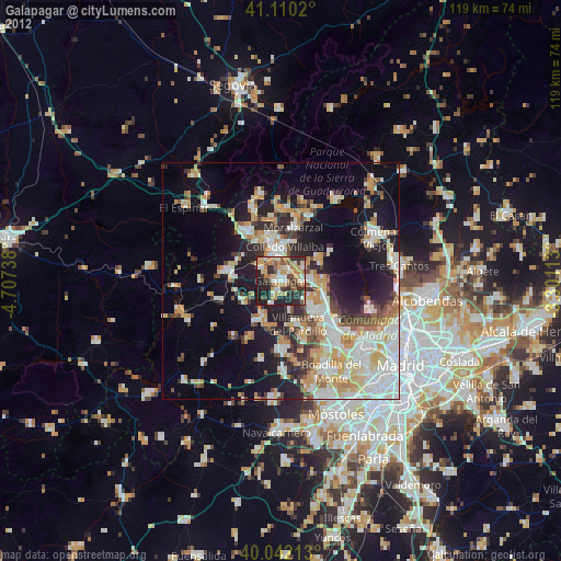
» Earth at Night: Flat Maps 2012, 2016