Fort Pienc night lights from space
Night Light of Fort Pienc (Catalonia) from space (Spain) Src. Average luminocity for 10x10km area is 86.6854% and for 50x50km: 41.7734%.
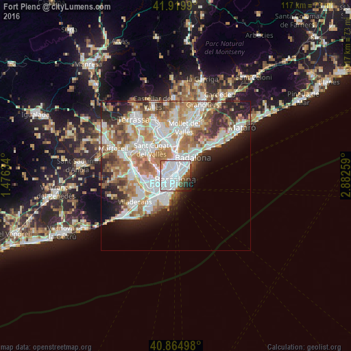
Analysis of Fort Pienc night lights 2016
Square area 10x10 km:
 54.59%
90-99
21.94%80-89
0.68%70-79
2.38%60-69
0.51%50-59
6.8%40-49
4.42%30-39
3.06%20-29
4.08%10-19
1.53%0-9
0%Square area 50x50 km:
11.47%90-99
10.21%80-89
3.96%70-79
4.93%60-69
7.36%50-59
5.42%40-49
3.3%30-39
3.74%20-29
6.98%10-19
6.18%0-9
36.46%Clear (daylight) street map image can be seen on geolist.org.
Map coordinates:
41° 55' 11.6" North, 1° 28' 34.8" East
41° 23' 40.5" North, 2° 10' 46.1" East
40° 51' 53.9" North, 2° 52' 57.3" East
Some cities around Fort Pienc sort by population:
• Eixample
1.6 km =1 mi,  247°
247°
• Ciutat Vella
1.7 km =1.1 mi,  198°
198°
• Sagrada Família
1.2 km =0.7 mi,  334°
334°
• Dreta de l'Eixample
1.1 km =0.7 mi,  278°
278°
• Sant Pere, Santa Caterina i La Ribera
1.1 km =0.7 mi,  171°
171°
• Barri Gòtic
1.2 km =0.7 mi,  192°
192°
• el Parc i la Llacuna del Poblenou
1 km =0.6 mi,  63°
63°
• la Vila Olímpica del Poblenou
1.5 km =0.9 mi,  106°
106°
6690784 (p: 31,963)
Sources (retrieved 2019-11-25):
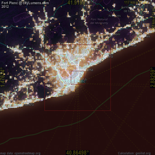
» Earth at Night: Flat Maps 2012, 2016