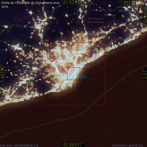
Dreta de l'Eixample night lights from space
Night Light of Dreta de l'Eixample (Catalonia) from space (Spain) Src. Average luminocity for 10x10km area is 90.6718% and for 50x50km: 42.2724%.

Analysis of Dreta de l'Eixample night lights 2016
Square area 10x10 km:
 58.16%
90-99
22.79%80-89
0.85%70-79
3.74%60-69
1.87%50-59
4.93%40-49
3.4%30-39
2.04%20-29
2.04%10-19
0.17%0-9
0%Square area 50x50 km:
11.53%90-99
10.35%80-89
3.98%70-79
5.01%60-69
7.44%50-59
5.54%40-49
3.4%30-39
3.76%20-29
7%10-19
6.28%0-9
35.7%Clear (daylight) street map image can be seen on geolist.org.
Map coordinates:
41° 55' 16.9" North, 1° 27' 49.5" East
41° 23' 45.8" North, 2° 10' 0.8" East
40° 51' 59.3" North, 2° 52' 12" East
Some cities around Dreta de l'Eixample sort by population:
• Barcelona
1 km =0.6 mi,  219°
219°
• Eixample
0.9 km =0.6 mi,  208°
208°
• Gràcia
1.1 km =0.7 mi,  308°
308°
• Sagrada Família
1 km =0.6 mi,  31°
31°
• la Vila de Gràcia
1.1 km =0.7 mi, 313°
• l'Antiga Esquerra de l'Eixample
1.2 km =0.7 mi,  232°
232°
• el Camp d'en Grassot i Gràcia Nova
1.2 km =0.7 mi,  352°
352°
• Fort Pienc
1.1 km =0.7 mi,  98°
98°
6690786 (p: 43,994)
Sources (retrieved 2019-11-25):
» Earth at Night: Flat Maps 2012, 2016