el Poblenou night lights from space
Night Light of el Poblenou (Catalonia) from space (Spain) Src. Average luminocity for 10x10km area is 76.9099% and for 50x50km: 41.5352%.
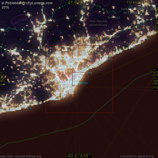
Analysis of el Poblenou night lights 2016
Square area 10x10 km:
 46.26%
90-99
18.03%80-89
0.68%70-79
0%60-69
0.17%50-59
10.03%40-49
5.95%30-39
5.1%20-29
6.12%10-19
6.46%0-9
1.19%Square area 50x50 km:
11.31%90-99
10.14%80-89
3.93%70-79
5.05%60-69
7.57%50-59
5.13%40-49
3.34%30-39
3.73%20-29
6.68%10-19
6.54%0-9
36.58%Clear (daylight) street map image can be seen on geolist.org.
Map coordinates:
41° 55' 45" North, 1° 30' 3.6" East
41° 24' 14.1" North, 2° 12' 14.9" East
40° 52' 27.8" North, 2° 54' 26.1" East
Some cities around el Poblenou sort by population:
• Sant Martí
1.6 km =1 mi,  345°
345°
• el Clot
1.3 km =0.8 mi,  300°
300°
• Sant Martí de Provençals
1.9 km =1.2 mi,  340°
340°
• el Besòs i el Maresme
1.5 km =0.9 mi,  47°
47°
• Provenals del Poblenou
0.8 km =0.5 mi, 350°
• el Parc i la Llacuna del Poblenou
1.3 km =0.8 mi,  242°
242°
• Diagonal Mar
1.1 km =0.7 mi,  60°
60°
• la Vila Olímpica del Poblenou
1.6 km =1 mi,  202°
202°
6545114 (p: 33,642)
Sources (retrieved 2019-11-25):
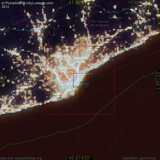
» Earth at Night: Flat Maps 2012, 2016