Sant Martí night lights from space
Night Light of Sant Martí (Catalonia) from space (Spain) Src. Average luminocity for 10x10km area is 84.301% and for 50x50km: 42.9061%.
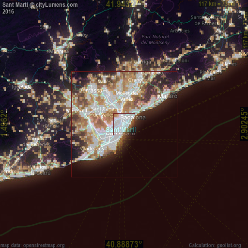
Analysis of Sant Martí night lights 2016
Square area 10x10 km:
 50.85%
90-99
21.09%80-89
1.36%70-79
1.87%60-69
1.53%50-59
8.67%40-49
4.42%30-39
3.57%20-29
3.74%10-19
2.89%0-9
0%Square area 50x50 km:
11.5%90-99
10.38%80-89
4.06%70-79
5.14%60-69
7.83%50-59
5.48%40-49
3.57%30-39
3.9%20-29
7.2%10-19
7.24%0-9
33.7%Clear (daylight) street map image can be seen on geolist.org.
Map coordinates:
41° 56' 35.8" North, 1° 29' 46.3" East
41° 25' 5.3" North, 2° 11' 57.6" East
40° 53' 19.4" North, 2° 54' 8.8" East
Some cities around Sant Martí sort by population:
• el Camp de l'Arpa del Clot
1.6 km =1 mi,  244°
244°
• el Poblenou
1.6 km =1 mi,  165°
165°
• La Sagrera
1.2 km =0.7 mi,  294°
294°
• la Verneda i la Pau
0.7 km =0.4 mi,  25°
25°
• el Clot
1.2 km =0.7 mi,  218°
218°
• el Besòs i el Maresme
1.6 km =1 mi,  110°
110°
• Navas
1.1 km =0.7 mi,  269°
269°
• Provenals del Poblenou
0.8 km =0.5 mi,  160°
160°
6544105 (p: 235,719)
Sources (retrieved 2019-11-25):
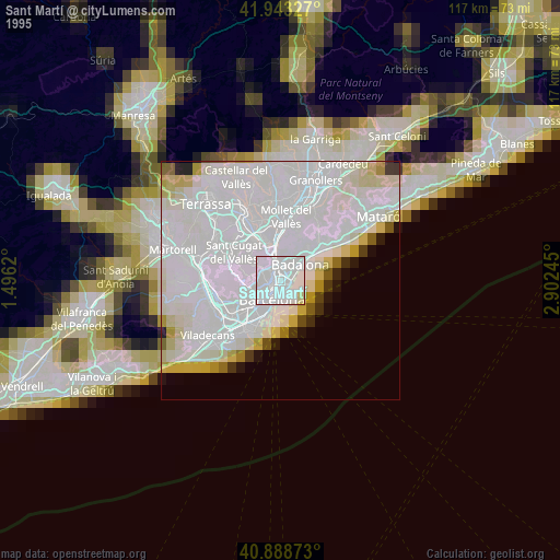
» NASA, Earths city lights 1995
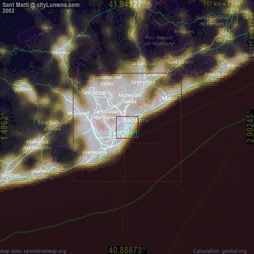
» NASA city lights 2003
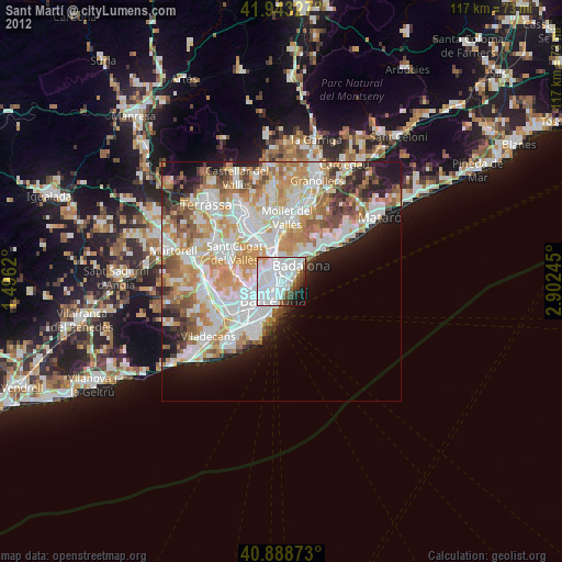
» Earth at Night: Flat Maps 2012, 2016