Provenals del Poblenou night lights from space
Night Light of Provenals del Poblenou (Catalonia) from space (Spain) Src. Average luminocity for 10x10km area is 80.682% and for 50x50km: 42.3211%.
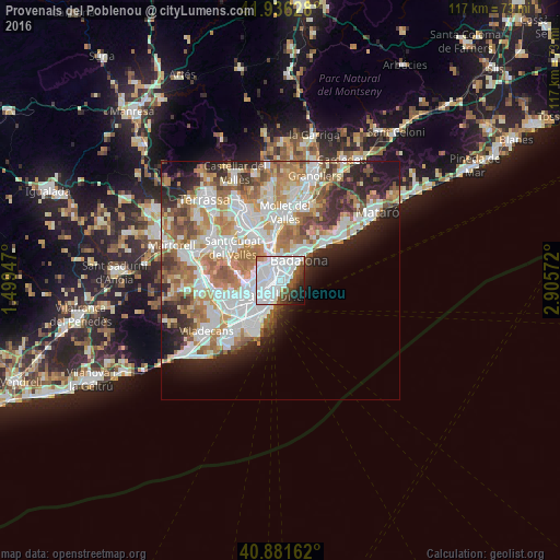
Analysis of Provenals del Poblenou night lights 2016
Square area 10x10 km:
 48.47%
90-99
19.56%80-89
1.36%70-79
0.85%60-69
0.68%50-59
9.35%40-49
5.27%30-39
4.42%20-29
4.93%10-19
4.76%0-9
0.34%Square area 50x50 km:
11.42%90-99
10.25%80-89
4%70-79
5.13%60-69
7.76%50-59
5.28%40-49
3.48%30-39
3.82%20-29
7.02%10-19
6.93%0-9
34.9%Clear (daylight) street map image can be seen on geolist.org.
Map coordinates:
41° 56' 10.6" North, 1° 29' 58.1" East
41° 24' 39.9" North, 2° 12' 9.4" East
40° 52' 53.8" North, 2° 54' 20.6" East
Some cities around Provenals del Poblenou sort by population:
• Sant Martí
0.8 km =0.5 mi,  340°
340°
• el Poblenou
0.8 km =0.5 mi,  170°
170°
• la Verneda i la Pau
1.4 km =0.9 mi,  1°
1°
• el Clot
1 km =0.6 mi,  262°
262°
• Sant Martí de Provençals
1.1 km =0.7 mi,  332°
332°
• el Besòs i el Maresme
1.3 km =0.8 mi,  79°
79°
• Navas
1.6 km =1 mi,  299°
299°
• Diagonal Mar
1.2 km =0.7 mi,  101°
101°
11549778 (p: 20,306)
Sources (retrieved 2019-11-25):
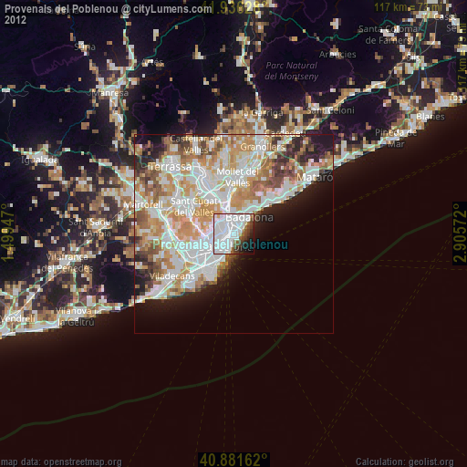
» Earth at Night: Flat Maps 2012, 2016