Cullera night lights from space
Night Light of Cullera (Valencia) from space (Spain) Src. Average luminocity for 10x10km area is 25.9302% and for 50x50km: 15.2271%.
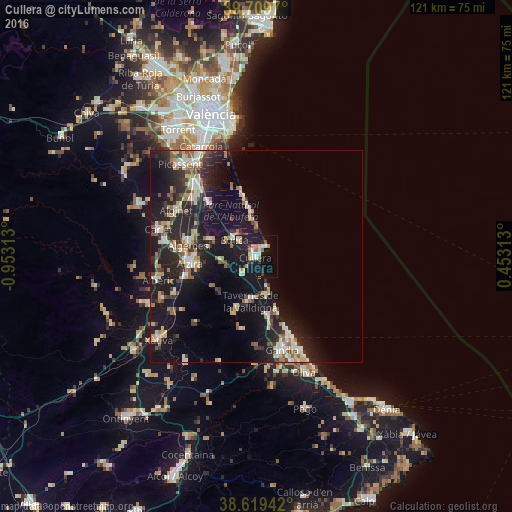
Analysis of Cullera night lights 2016
Square area 10x10 km:
 3.9%
3.9%90-99
4.38%80-89
3.41%70-79
3.73%60-69
2.92%50-59
1.46%40-49
0.97%30-39
2.6%20-29
2.27%10-19
45.94%0-9
28.41%Square area 50x50 km:
1.68%90-99
2.28%80-89
1.95%70-79
1.9%60-69
1.68%50-59
1.75%40-49
1.44%30-39
2.57%20-29
6.14%10-19
16.36%0-9
62.25%Clear (daylight) street map image can be seen on geolist.org.
Map coordinates:
39° 42' 34.9" North, 0° 57' 11.3" West
39° 10' 0" North, 0° 15' 0" West
38° 37' 9.9" North, 0° 27' 11.3" East
Some cities around Cullera sort by population:
• Alzira
15.9 km =9.9 mi,  263°
263°
• Sueca
6.6 km =4.1 mi,  307°
307°
• Algemesí
16.2 km =10.1 mi,  279°
279°
• Carcaixent
17.8 km =11.1 mi,  253°
253°
• Tavernes de la Valldigna
10.6 km =6.6 mi,  187°
187°
• Benifaió
20 km =12.4 mi, 310°
• Almussafes
19.3 km =12 mi, 312°
• Guadassuar
19.8 km =12.3 mi, 276°
2518949 (p: 24,121)
Sources (retrieved 2019-11-25):
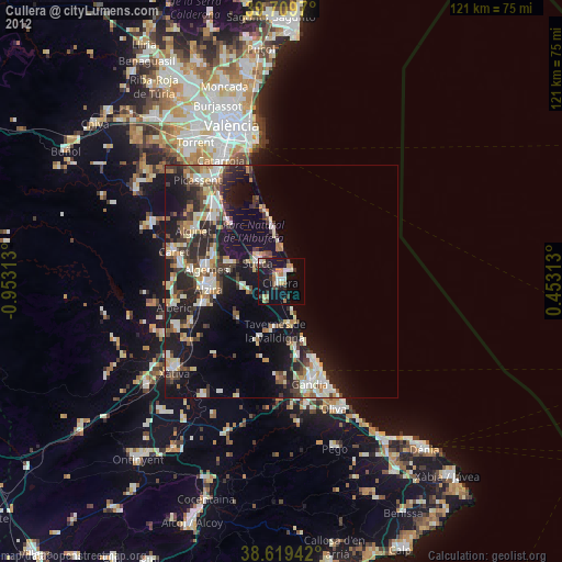
» Earth at Night: Flat Maps 2012, 2016