Coristanco night lights from space
Night Light of Coristanco (Galicia) from space (Spain) Src. Average luminocity for 10x10km area is 7.0606% and for 50x50km: 6.2811%.
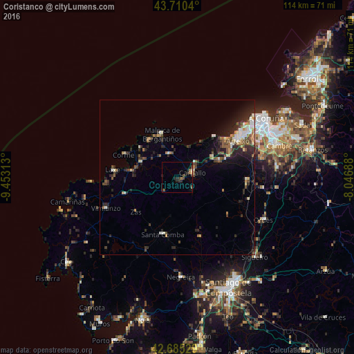
Analysis of Coristanco night lights 2016
Square area 10x10 km:
 0%
0%90-99
0.3%80-89
0.76%70-79
0.15%60-69
1.82%50-59
1.21%40-49
1.21%30-39
2.58%20-29
3.79%10-19
2.12%0-9
86.06%Square area 50x50 km:
0.49%90-99
1.1%80-89
0.58%70-79
0.46%60-69
0.87%50-59
0.8%40-49
1.23%30-39
1.07%20-29
2.78%10-19
3.1%0-9
87.51%Clear (daylight) street map image can be seen on geolist.org.
Map coordinates:
43° 42' 37.4" North, 9° 27' 11.3" West
43° 12' 0" North, 8° 45' 0" West
42° 41' 7" North, 8° 2' 48.8" West
Some cities around Coristanco sort by population:
• Carballo
5 km =3.1 mi,  73°
73°
• Arteixo
22.8 km =14.2 mi,  59°
59°
• Culleredo
30.9 km =19.2 mi, 71°
• Ordes
30.9 km =19.2 mi,  116°
116°
• Laracha
14.6 km =9.1 mi, 65°
• Santa Comba
19.2 km =11.9 mi,  194°
194°
• Malpica
14.5 km =9 mi,  340°
340°
• Carral
32.1 km =19.9 mi,  84°
84°
3124589 (p: 7,674)
Sources (retrieved 2019-11-25):
» Earth at Night: Flat Maps 2012, 2016