Culleredo night lights from space
Night Light of Culleredo (Galicia) from space (Spain) Src. Average luminocity for 10x10km area is 67.997% and for 50x50km: 19.5108%.
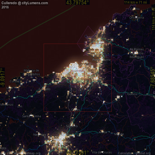
Analysis of Culleredo night lights 2016
Square area 10x10 km:
100  11.82%
90-99 17.27%
80-89 7.12%
70-79 13.33%
60-69 17.42%
50-59 8.64%
40-49 6.21%
30-39 7.73%
20-29 7.27%
10-19 3.18%
0-9 0%
11.82%90-99
17.27%80-89
7.12%70-79
13.33%60-69
17.42%50-59
8.64%40-49
6.21%30-39
7.73%20-29
7.27%10-19
3.18%0-9
0%Square area 50x50 km:
100 2.78%
90-99 3.63%
80-89 1.77%
70-79 2%
60-69 3.19%
50-59 3.41%
40-49 3.37%
30-39 3.18%
20-29 6.45%
10-19 9.03%
0-9 61.2%
2.78%90-99
3.63%80-89
1.77%70-79
2%60-69
3.19%50-59
3.41%40-49
3.37%30-39
3.18%20-29
6.45%10-19
9.03%0-9
61.2%Clear (daylight) street map image can be seen on geolist.org.
Map coordinates:
43° 47' 51.1" North, 9° 5' 30.1" West
43° 17' 16.4" North, 8° 23' 18.9" West
42° 46' 26.1" North, 7° 41' 7.6" West
Some cities around Culleredo sort by population:
• A Coruña
9.3 km =5.8 mi,  356°
356°
• Oleiros
7.7 km =4.8 mi,  49°
49°
• Arteixo
9.8 km =6.1 mi,  281°
281°
• Cambre
3.4 km =2.1 mi,  77°
77°
• Sada
13 km =8.1 mi, 54°
• Bergondo
13 km =8.1 mi, 75°
• Abegondo
11.6 km =7.2 mi,  132°
132°
• Carral
7.1 km =4.4 mi,  157°
157°
3124041 (p: 28,227)
Sources (retrieved 2019-11-25):
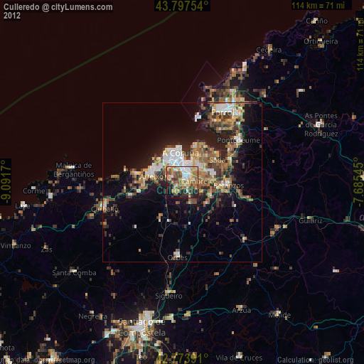
» Earth at Night: Flat Maps 2012, 2016